Transport Functions
Rail
Road
Hub Profile
Place type
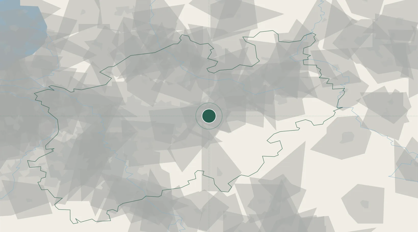
Populated place
Region
North Rhine-Westphalia
Population
32,149
Time zone
Europe/Berlin
Elevation
92 m
Location
Nearby Logistics Neighbours
Cities
- 1Fröndenberg15 km
- 2Lippetal16 km
- 3Hamm17 km
- 4Bad Sassendorf18 km
- 5Uentrop20 km
Airports
- 1Dortmund Airport21 km
- 2Paderborn Lippstadt Airport49 km
- 3Bielefeld Airport63 km
- 4Münster Osnabrück Airport67 km
- 5Düsseldorf Airport85 km
Trade Zones
- 1Freeport of Duisburg93 km
- 2Rheinische Revier SWZ129 km
- 3Freeport of Bremerhaven (Freihafen Bremerhaven)181 km
- 4Freeport of Emden205 km
- 5Luxembourg Free Port244 km
DatabookThe Record of Consolidated Knowledge
Germany beyond logistics?