Large airport · Germany

Paderborn Lippstadt AirportEDLP
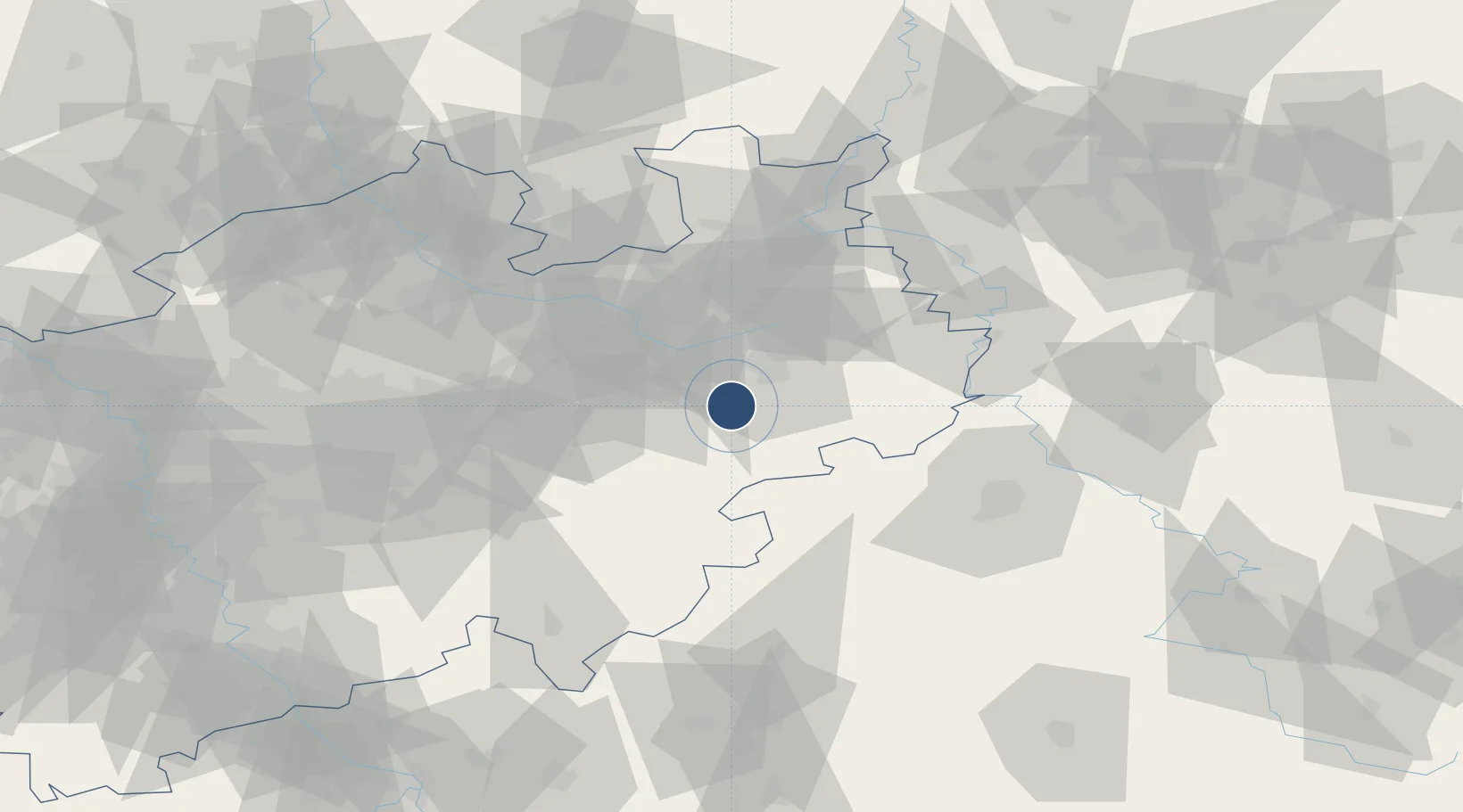
51.6125°, 8.6175°
7,152 ft
Longest runway
1
Runways
699 ft
Elevation

Runway & Layout

Paderborn Lippstadt Airport runway & taxiway layout
Runway & taxiway layout — OpenStreetMap (ODbL) / OurAirports

Radio Frequencies

ATIS
125.73 MHz
Paderborn ATIS
TWR
133.38 MHz
Paderborn Tower / Turm
GND
121.93 MHz
Paderborn Ground / Rollkontrolle
AFIS
129.875 MHz
LANGEN INFORMATION
OPS
130.425 MHz
DISPATCH
RDR
125.225 MHz
LANGEN RADAR
OurAirports

Navaids

PAD NDB-DME Paderborn/Lippstadt 0.35 MHz
OurAirports

Runways · 1

RunwayDimensions SurfaceTrue headingLit
06/24 7,152 × 148ft Asphalt 057°
OurAirports

Airport Specifications

IATA code
PAD
OurAirports
ICAO code
EDLP
OurAirports
Airport class
Large airport
OurAirports
Scheduled service
Yes
OurAirports
Runway surface
Asphalt
OurAirports
Served city
Büren
OurAirports

Location

Location of EDLP
Natural Earth 10m (public domain) · Nordrhein-Westfalen · EDLP · 51.61, 8.62GoogleOSMYandex

Nearby Logistics Neighbours

Airports
  1. 1Bielefeld Airport40 km
  2. 2Kassel Airport58 km
  3. 3Dortmund Airport70 km
  4. 4Fritzlar Army Airfield72 km
  5. 5Bückeburg Air Base81 km
Nearest neighbours — logibook spatial index (haversine) over the source coordinates
Cities
  1. 1Büren8 km
  2. 2Sennelager17 km
  3. 3Hövelhof23 km
  4. 4Altenbeken29 km
  5. 5Diemelsee30 km
Nearest neighbours — logibook spatial index (haversine) over the source coordinates
Ports
  1. 1Bremen169 km
  2. 2Oldenburg170 km
  3. 3Elsfleth181 km
  4. 4Papenburg185 km
  5. 5Brake192 km
Nearest neighbours — logibook spatial index (haversine) over the source coordinates
Trade Zones
  1. 1Freeport of Duisburg142 km
  2. 2Freeport of Bremerhaven (Freihafen Bremerhaven)165 km
  3. 3Rheinische Revier SWZ174 km
  4. 4Freeport of Emden215 km
  5. 5Freeport of Cuxhaven (Freihafen Cuxhaven)246 km
Nearest neighbours — logibook spatial index (haversine) over the source coordinates
DatabookThe Record of Consolidated Knowledge
Germany beyond logistics?
Browse databook

All Sources

AirportsOurAirports
Public domain
Portsthe NGA World Port Index
Public domain (US gov)
LocationsUN/LOCODE
UN/LOCODE — free
Trade Zonesthe World Bank SEZ database
CC BY 4.0
Trade ZonesOpen Zone Map
CC BY
InfrastructureOpenStreetMap
ODbL 1.0
← Germany airports