Transport Functions
Rail
Road
Hub Profile
Place type
Populated place
Region
North Rhine-Westphalia
Population
12,281
Time zone
Europe/Berlin
Elevation
237 m
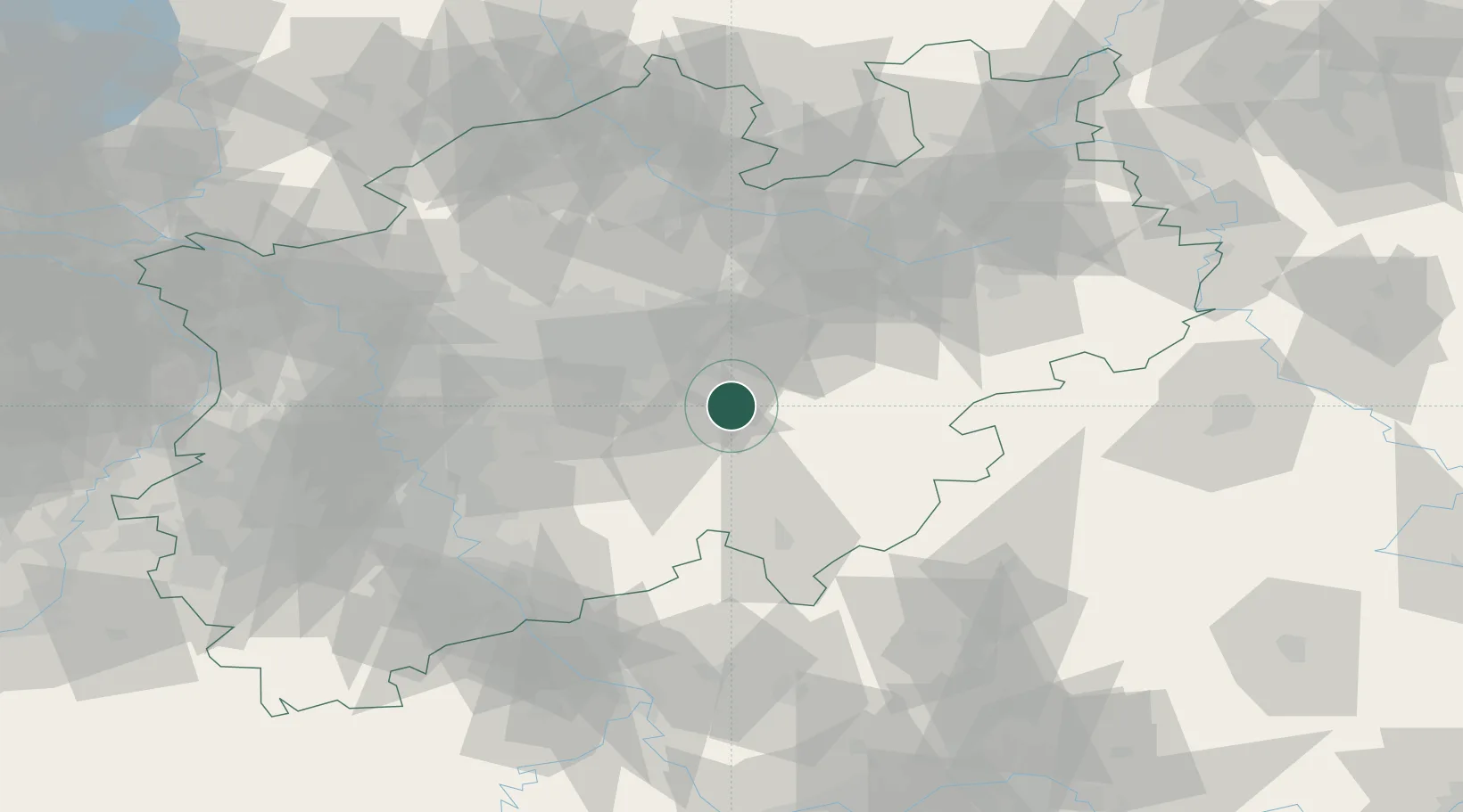
Location
Nearby Logistics Neighbours
Cities
- 1Nachrodt-Wiblingwerde15 km
- 2Bärenstein15 km
- 3Arnsberg16 km
- 4Uentrop17 km
- 5Fröndenberg17 km
Airports
- 1Dortmund Airport27 km
- 2Paderborn Lippstadt Airport61 km
- 3Siegerland Airport71 km
- 4Cologne Bonn Airport73 km
- 5Düsseldorf Airport77 km
Trade Zones
- 1Freeport of Duisburg90 km
- 2Rheinische Revier SWZ114 km
- 3Freeport of Bremerhaven (Freihafen Bremerhaven)205 km
- 4Luxembourg Free Port221 km
- 5Freeport of Emden227 km
DatabookThe Record of Consolidated Knowledge
Germany beyond logistics?