Transport Functions
Multimodal
Hub Profile
Place type
Populated place
Region
North Rhine-Westphalia
Population
9,304
Time zone
Europe/Berlin
Elevation
313 m
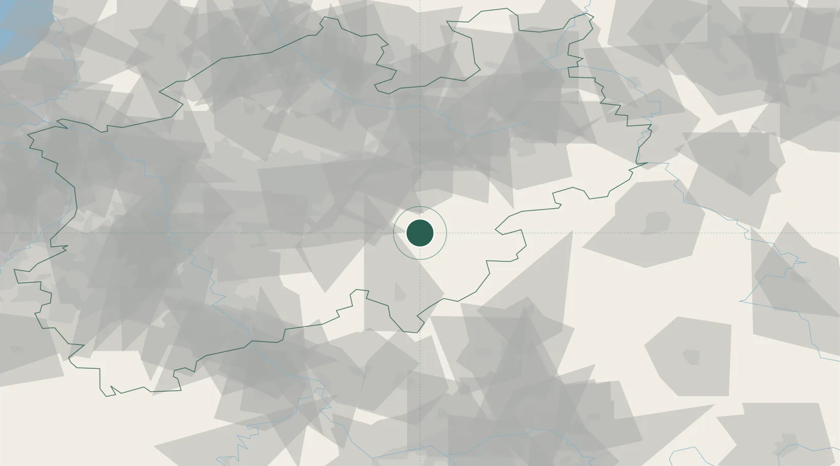
Location
Nearby Logistics Neighbours
Cities
- 1Bremke4 km
- 2Schmallenberg15 km
- 3Arnsberg16 km
- 4Finnentrop16 km
- 5Uentrop17 km
Airports
- 1Dortmund Airport48 km
- 2Paderborn Lippstadt Airport52 km
- 3Siegerland Airport61 km
- 4Fritzlar Army Airfield81 km
- 5Cologne Bonn Airport82 km
Trade Zones
- 1Freeport of Duisburg111 km
- 2Rheinische Revier SWZ129 km
- 3Freeport of Bremerhaven (Freihafen Bremerhaven)209 km
- 4Luxembourg Free Port225 km
- 5Freeport of Emden241 km
DatabookThe Record of Consolidated Knowledge
Germany beyond logistics?