Transport Functions
Rail
Road
Hub Profile
Place type
Populated place
Region
North Rhine-Westphalia
Time zone
Europe/Berlin
Elevation
308 m
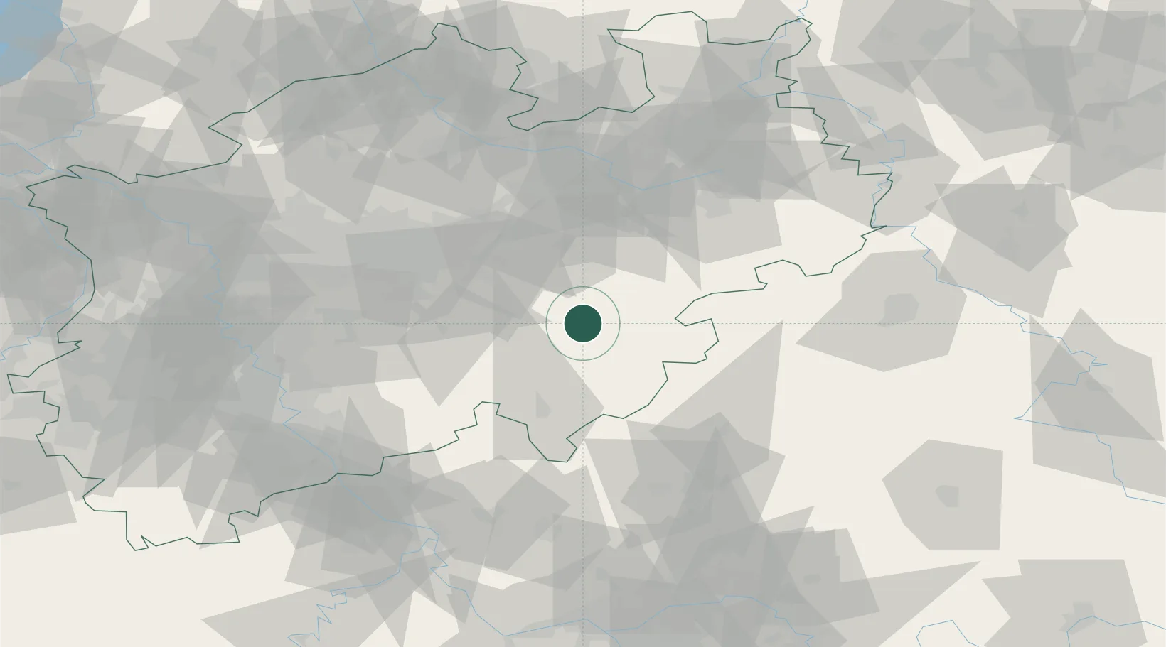
Location
Nearby Logistics Neighbours
Cities
- 1Eslohe4 km
- 2Schmallenberg13 km
- 3Arnsberg17 km
- 4Uentrop19 km
- 5Finnentrop19 km
Airports
- 1Paderborn Lippstadt Airport50 km
- 2Dortmund Airport51 km
- 3Siegerland Airport61 km
- 4Fritzlar Army Airfield77 km
- 5Bielefeld Airport83 km
Trade Zones
- 1Freeport of Duisburg114 km
- 2Rheinische Revier SWZ133 km
- 3Freeport of Bremerhaven (Freihafen Bremerhaven)209 km
- 4Luxembourg Free Port227 km
- 5Freeport of Emden242 km
DatabookThe Record of Consolidated Knowledge
Germany beyond logistics?