Transport Functions
Port
Rail
Road
Hub Profile
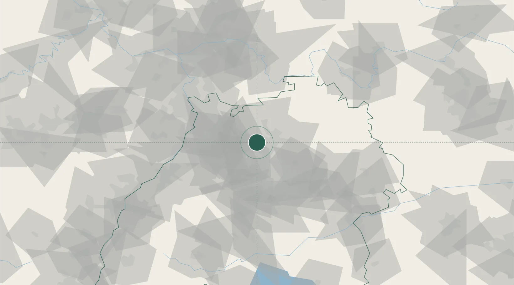
Place type
Populated place
Region
Baden-Wurttemberg
Population
11,047
Time zone
Europe/Berlin
Elevation
202 m
Location
Nearby Logistics Neighbours
Cities
- 1Nordheim7 km
- 2Heilbronn11 km
- 3Lauffen am Neckar11 km
- 4Güglingen11 km
- 5Kochendorf11 km
Airports
- 1Adolf Würth Airport52 km
- 2Stuttgart Airport52 km
- 3Mannheim-City Airport54 km
- 4Niederstetten Army Air Base70 km
- 5Karlsruhe Baden-Baden Airport83 km
Trade Zones
- 1ZFU Neuhof117 km
- 2ZFU Hautepierre118 km
- 3ZFU La Cité Behren-lès-Forbach156 km
- 4ZFU Mulhouse201 km
- 5ZFU Metz212 km
DatabookThe Record of Consolidated Knowledge
Germany beyond logistics?