Transport Functions
Port
Rail
Road
Hub Profile
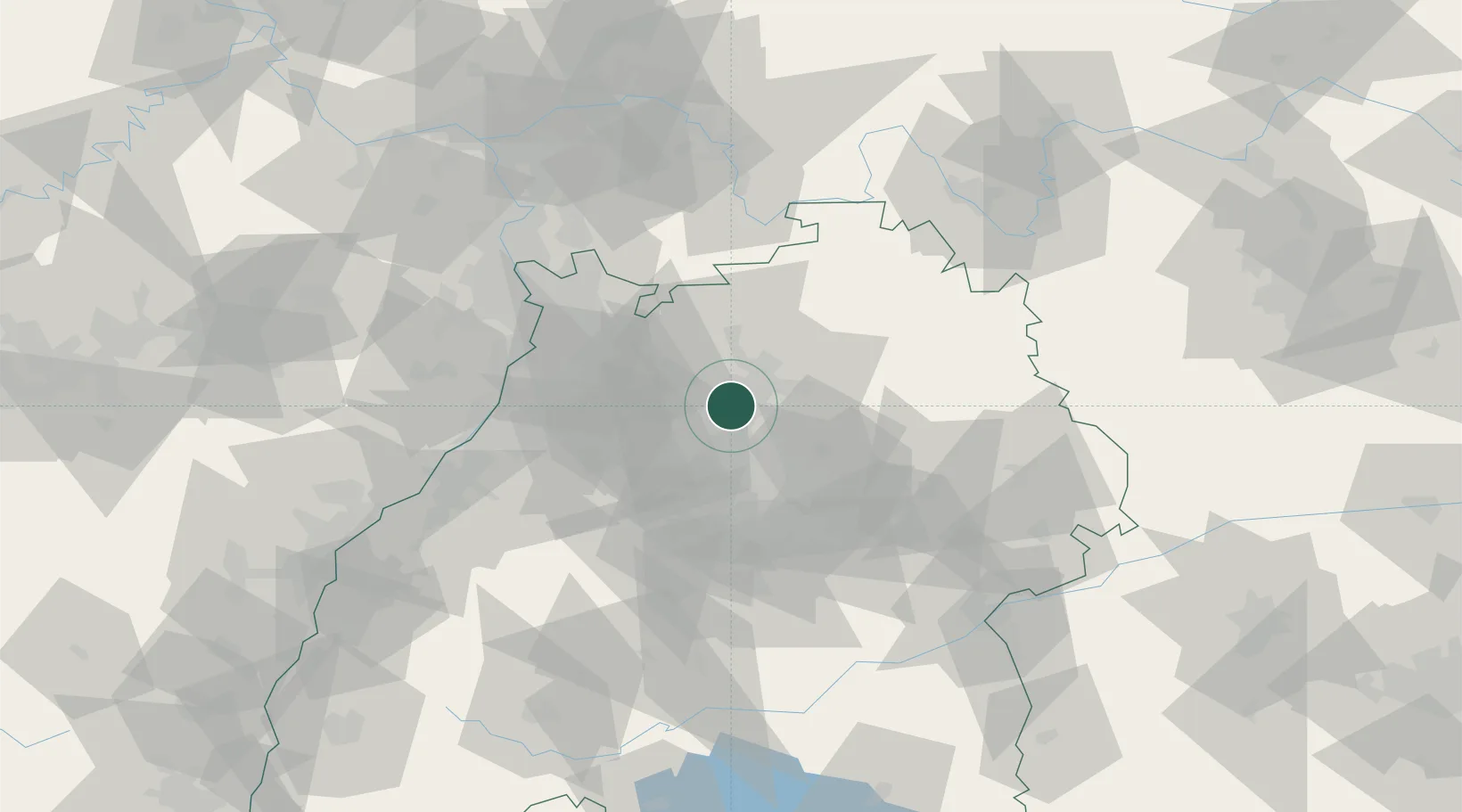
Place type
Local administrative seat
Region
Baden-Wurttemberg
Population
7,440
Time zone
Europe/Berlin
Elevation
181 m
Location
Nearby Logistics Neighbours
Cities
- 1Lauffen am Neckar4 km
- 2Talheim5 km
- 3Schozach6 km
- 4Neckarwestheim7 km
- 5Schwaigern7 km
Airports
- 1Stuttgart Airport46 km
- 2Adolf Würth Airport47 km
- 3Mannheim-City Airport61 km
- 4Niederstetten Army Air Base68 km
- 5Karlsruhe Baden-Baden Airport85 km
Trade Zones
- 1ZFU Neuhof118 km
- 2ZFU Hautepierre120 km
- 3ZFU La Cité Behren-lès-Forbach161 km
- 4ZFU Mulhouse200 km
- 5ZFU Metz216 km
DatabookThe Record of Consolidated Knowledge
Germany beyond logistics?