Transport Functions
Rail
Road
Hub Profile
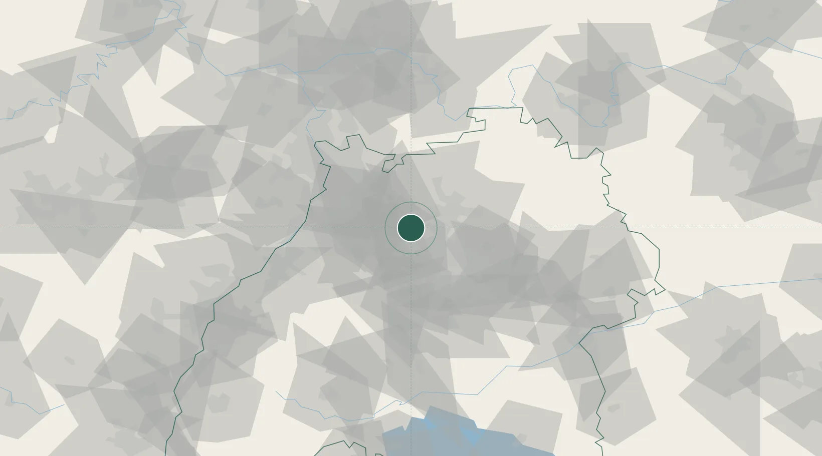
Place type
Populated place
Region
Baden-Wurttemberg
Population
6,198
Time zone
Europe/Berlin
Elevation
207 m
Location
Nearby Logistics Neighbours
Cities
- 1Pfaffenhofen1 km
- 2Michelbach am Heuchelberg4 km
- 3Bönnigheim9 km
- 4Sulzfeld10 km
- 5Schwaigern11 km
Airports
- 1Stuttgart Airport45 km
- 2Mannheim-City Airport57 km
- 3Adolf Würth Airport59 km
- 4Karlsruhe Baden-Baden Airport73 km
- 5Niederstetten Army Air Base79 km
Trade Zones
- 1ZFU Neuhof107 km
- 2ZFU Hautepierre108 km
- 3ZFU La Cité Behren-lès-Forbach150 km
- 4ZFU Mulhouse190 km
- 5ZFU Metz206 km
DatabookThe Record of Consolidated Knowledge
Germany beyond logistics?