UN/LOCODE hub · Germany
DELFN
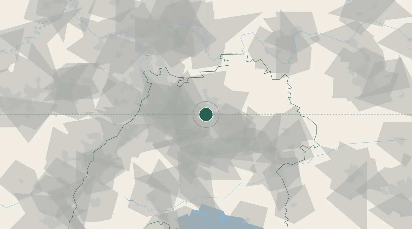
Lauffen am Neckar
49.0667°, 9.1500°
11,068
Population
2
Transport functions
Transport Functions
Rail
Road
Hub Profile
Place type
Populated place
Region
Baden-Wurttemberg
Population
11,068
Time zone
Europe/Berlin
Elevation
186 m
Location
Nearby Logistics Neighbours
Cities
- 1Neckarwestheim3 km
- 2Schozach4 km
- 3Nordheim4 km
- 4Talheim4 km
- 5Bönnigheim5 km
Airports
- 1Stuttgart Airport42 km
- 2Adolf Würth Airport47 km
- 3Mannheim-City Airport65 km
- 4Niederstetten Army Air Base69 km
- 5Karlsruhe Baden-Baden Airport84 km
Trade Zones
- 1ZFU Neuhof117 km
- 2ZFU Hautepierre119 km
- 3ZFU La Cité Behren-lès-Forbach162 km
- 4ZFU Mulhouse198 km
- 5ZFU Metz218 km
DatabookThe Record of Consolidated Knowledge
Germany beyond logistics?