Transport Functions
Rail
Road
Airport
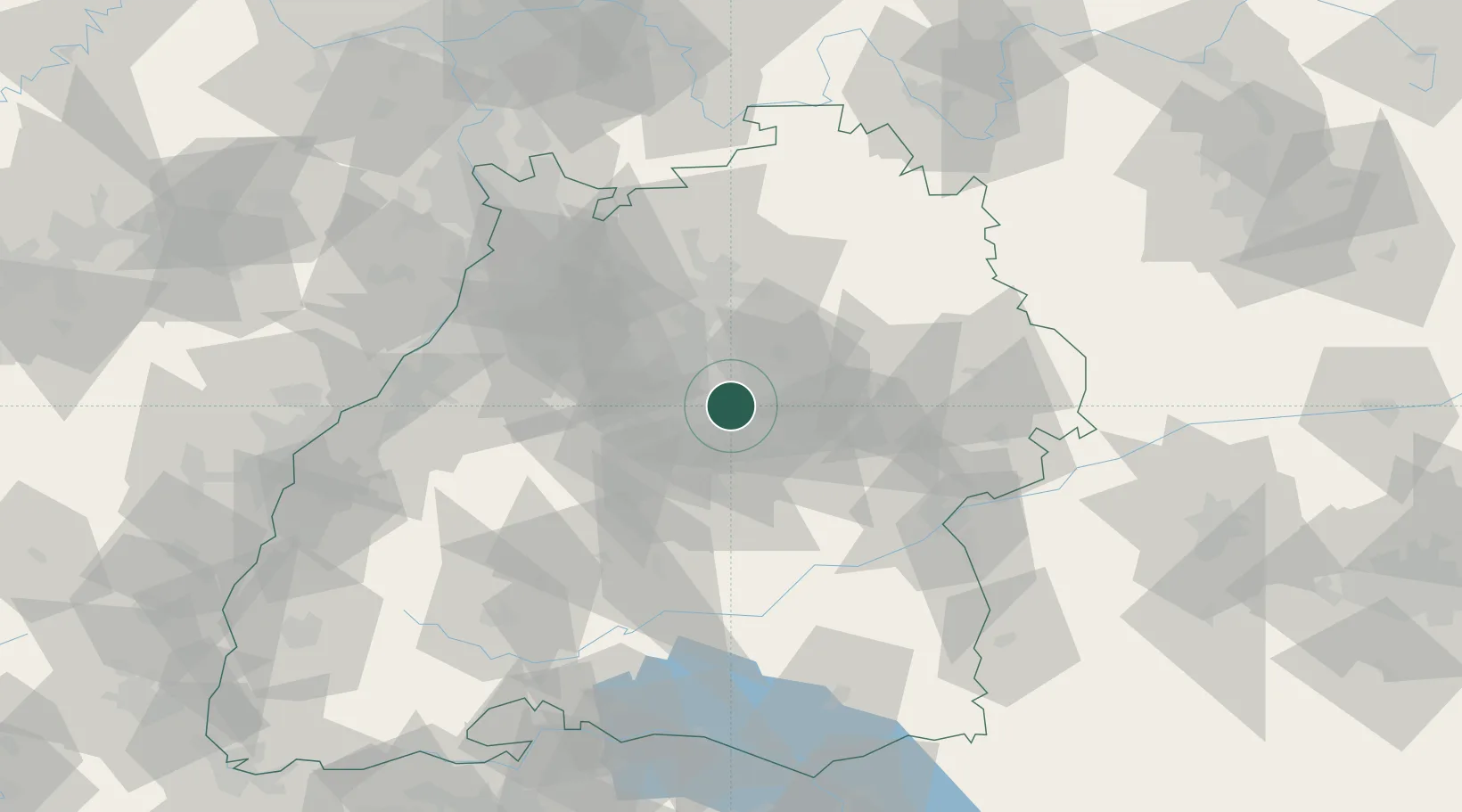
Hub Profile
Place type
Regional capital
Region
Baden-Wurttemberg
Population
630,305
Time zone
Europe/Berlin
Elevation
252 m
Logistics facilities
7
Location
Nearby Logistics Neighbours
Cities
- 1Waiblingen7 km
- 2Weil im Dorf8 km
- 3Weinstadt8 km
- 4Kornwestheim12 km
- 5Wendlingen am Neckar13 km
Ports
- 1Bruxelles423 km
- 2Antwerpen441 km
- 3Porto Di Lido-Venezia444 km
- 4Nogaro446 km
- 5Porto Di Chioggia456 km
Airports
- 1Stuttgart Airport10 km
- 2Adolf Würth Airport53 km
- 3Laupheim Air Base78 km
- 4Mengen-Hohentengen Airfield81 km
- 5Niederstetten Army Air Base85 km
Trade Zones
- 1ZFU Neuhof114 km
- 2ZFU Hautepierre118 km
- 3ZFU La Cité Behren-lès-Forbach177 km
- 4ZFU Mulhouse183 km
- 5ZFU Belfort222 km
DatabookThe Record of Consolidated Knowledge
Germany beyond logistics?