Transport Functions
Rail
Road
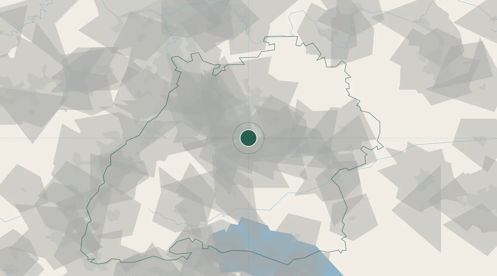
Hub Profile
Place type
Urban district
Region
Baden-Wurttemberg
Time zone
Europe/Berlin
Elevation
322 m
Location
Nearby Logistics Neighbours
Cities
- 1Stuttgart8 km
- 2Kornwestheim8 km
- 3Waiblingen11 km
- 4Möglingen11 km
- 5Sindelfingen14 km
Ports
- 1Bruxelles416 km
- 2Antwerpen435 km
- 3Porto Di Lido-Venezia449 km
- 4Nogaro452 km
- 5Porto Di Chioggia461 km
Airports
- 1Stuttgart Airport11 km
- 2Adolf Würth Airport59 km
- 3Karlsruhe Baden-Baden Airport80 km
- 4Mengen-Hohentengen Airfield83 km
- 5Laupheim Air Base83 km
Trade Zones
- 1ZFU Neuhof107 km
- 2ZFU Hautepierre110 km
- 3ZFU La Cité Behren-lès-Forbach169 km
- 4ZFU Mulhouse178 km
- 5ZFU Belfort216 km
DatabookThe Record of Consolidated Knowledge
Germany beyond logistics?