Transport Functions
Port
Rail
Road
Hub Profile
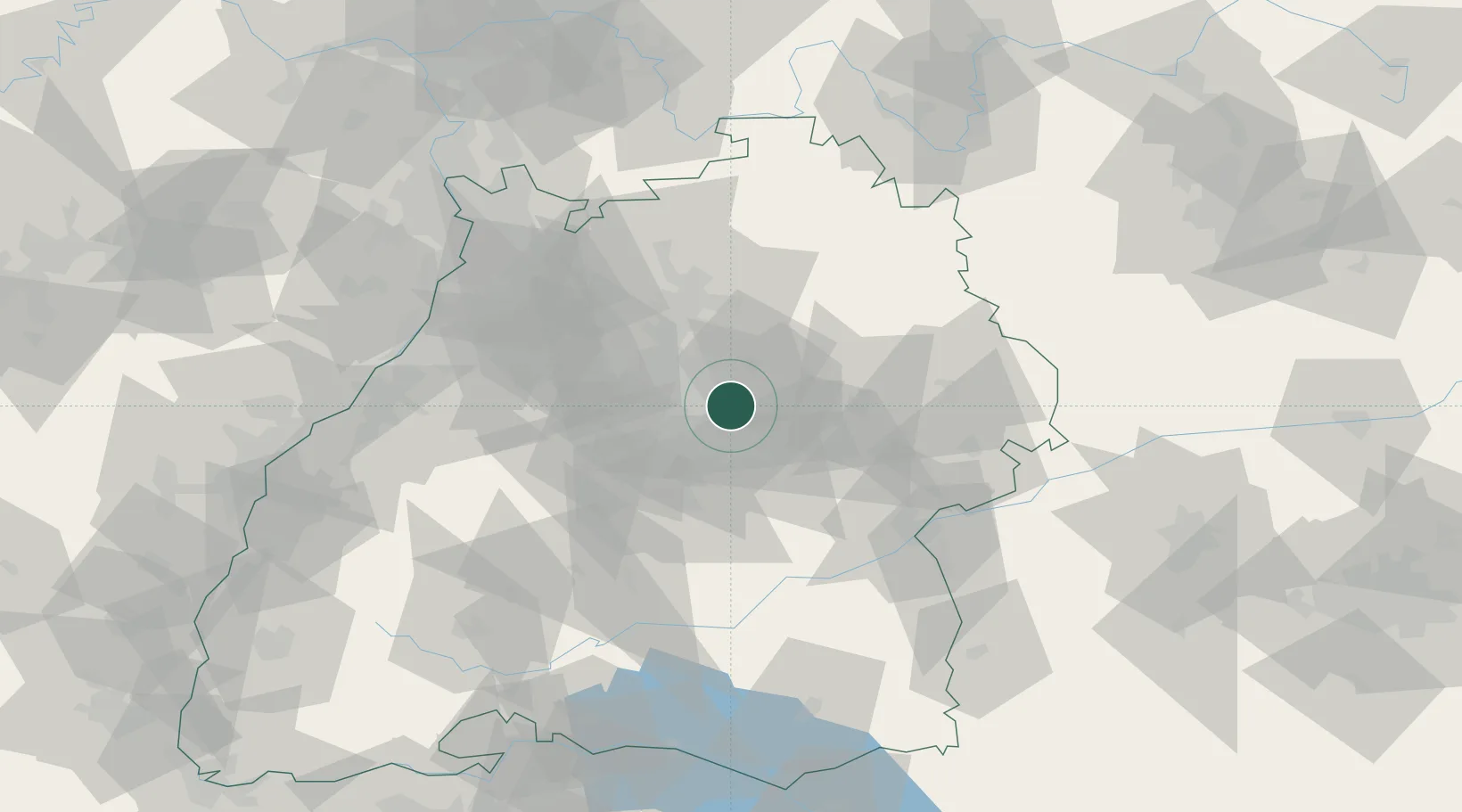
Region
BW
Location
Nearby Logistics Neighbours
Cities
- 1Waiblingen5 km
- 2Winnenden8 km
- 3Leutenbach8 km
- 4Stuttgart8 km
- 5Baltmannsweiler11 km
Ports
- 1Bruxelles426 km
- 2Porto Di Lido-Venezia444 km
- 3Antwerpen444 km
- 4Nogaro445 km
- 5Porto Di Chioggia456 km
Airports
- 1Stuttgart Airport18 km
- 2Adolf Würth Airport45 km
- 3Niederstetten Army Air Base77 km
- 4Laupheim Air Base78 km
- 5Mengen-Hohentengen Airfield85 km
Trade Zones
- 1ZFU Neuhof122 km
- 2ZFU Hautepierre125 km
- 3ZFU La Cité Behren-lès-Forbach182 km
- 4ZFU Mulhouse191 km
- 5ZFU Belfort230 km
DatabookThe Record of Consolidated Knowledge
Germany beyond logistics?