UN/LOCODE hub · Germany
DEWNN
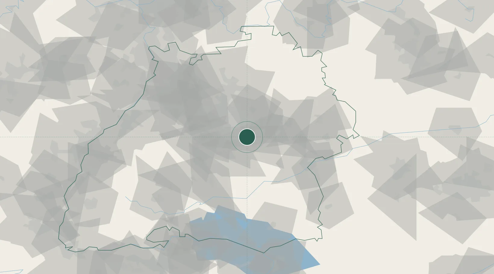
Wendlingen am Neckar
48.6833°, 9.3833°
15,728
Population
2
Transport functions
Transport Functions
Rail
Road
Hub Profile
Place type
Populated place
Region
Baden-Wurttemberg
Population
15,728
Time zone
Europe/Berlin
Elevation
268 m
Location
Nearby Logistics Neighbours
Cities
- 1Oberboihingen4 km
- 2Notzingen5 km
- 3Reichenbach an der Fils7 km
- 4Baltmannsweiler7 km
- 5Grossbettlingen11 km
Ports
- 1Porto Di Lido-Venezia430 km
- 2Nogaro433 km
- 3Bruxelles435 km
- 4Porto Di Chioggia443 km
- 5Grado445 km
Airports
- 1Stuttgart Airport12 km
- 2Adolf Würth Airport57 km
- 3Laupheim Air Base65 km
- 4Mengen-Hohentengen Airfield70 km
- 5Niederstetten Army Air Base89 km
Trade Zones
- 1ZFU Neuhof120 km
- 2ZFU Hautepierre125 km
- 3ZFU Mulhouse184 km
- 4ZFU La Cité Behren-lès-Forbach187 km
- 5ZFU Belfort223 km
DatabookThe Record of Consolidated Knowledge
Germany beyond logistics?