Transport Functions
Rail
Road
Hub Profile
Place type
District seat
Region
Baden-Wurttemberg
Population
52,945
Time zone
Europe/Berlin
Elevation
233 m
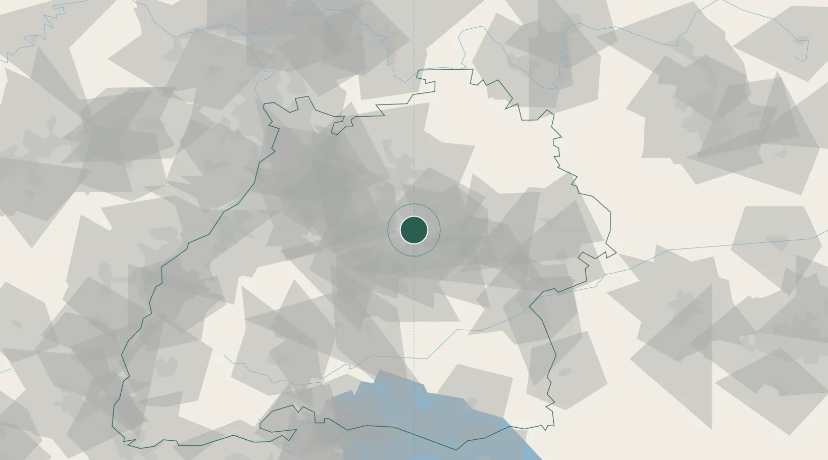
Location
Nearby Logistics Neighbours
Cities
- 1Weinstadt5 km
- 2Stuttgart7 km
- 3Winnenden9 km
- 4Leutenbach9 km
- 5Kornwestheim10 km
Ports
- 1Bruxelles421 km
- 2Antwerpen439 km
- 3Porto Di Lido-Venezia448 km
- 4Nogaro449 km
- 5Porto Di Chioggia460 km
Airports
- 1Stuttgart Airport17 km
- 2Adolf Würth Airport48 km
- 3Niederstetten Army Air Base78 km
- 4Laupheim Air Base82 km
- 5Mengen-Hohentengen Airfield87 km
Trade Zones
- 1ZFU Neuhof117 km
- 2ZFU Hautepierre121 km
- 3ZFU La Cité Behren-lès-Forbach177 km
- 4ZFU Mulhouse189 km
- 5ZFU Belfort227 km
DatabookThe Record of Consolidated Knowledge
Germany beyond logistics?