Transport Functions
Rail
Road
Hub Profile
Place type
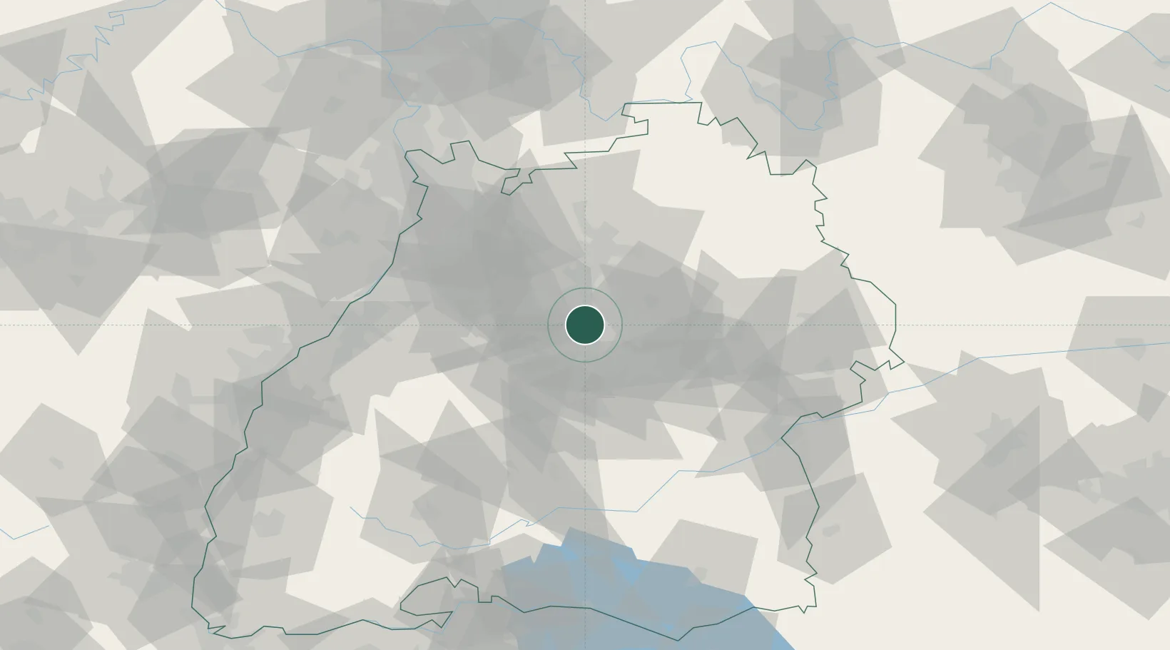
Populated place
Region
Baden-Wurttemberg
Population
31,040
Time zone
Europe/Berlin
Elevation
299 m
Logistics facilities
1
Location
Nearby Logistics Neighbours
Cities
- 1Möglingen4 km
- 2Weil im Dorf8 km
- 3Markgröningen9 km
- 4Freiberg am Neckar9 km
- 5Beihingen9 km
Ports
- 1Bruxelles411 km
- 2Antwerpen430 km
- 3Porto Di Lido-Venezia455 km
- 4Nogaro458 km
- 5Dordrecht459 km
Airports
- 1Stuttgart Airport19 km
- 2Adolf Würth Airport54 km
- 3Karlsruhe Baden-Baden Airport80 km
- 4Niederstetten Army Air Base83 km
- 5Mannheim-City Airport83 km
Trade Zones
- 1ZFU Neuhof108 km
- 2ZFU Hautepierre112 km
- 3ZFU La Cité Behren-lès-Forbach167 km
- 4ZFU Mulhouse183 km
- 5ZFU Belfort220 km
DatabookThe Record of Consolidated Knowledge
Germany beyond logistics?