Transport Functions
Rail
Road
Hub Profile
Place type
Local administrative seat
Region
Baden-Wurttemberg
Population
7,105
Time zone
Europe/Berlin
Elevation
150 m
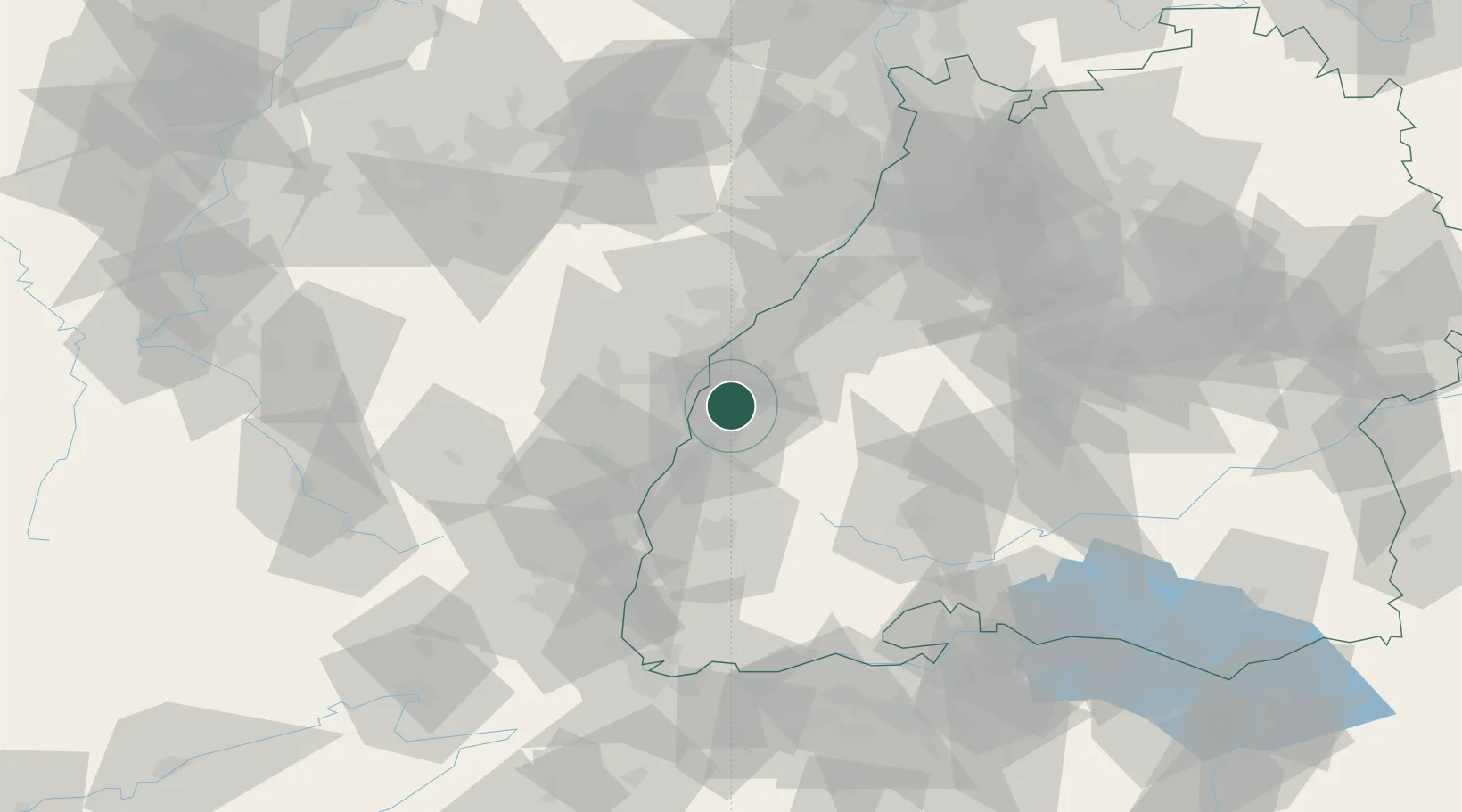
Location
Nearby Logistics Neighbours
Cities
- 1Ichenheim5 km
- 2Friesenheim (Baden)9 km
- 3Plobsheim12 km
- 4Strasbourg14 km
- 5Port-du-Rhin/Strasbourg14 km
Airports
- 1Lahr Airport10 km
- 2Strasbourg Airport21 km
- 3Karlsruhe Baden-Baden Airport39 km
- 4Colmar Houssen airport54 km
- 5Phalsbourg-Bourscheid Air Base61 km
Trade Zones
- 1ZFU Neuhof13 km
- 2ZFU Hautepierre21 km
- 3ZFU Mulhouse88 km
- 4ZFU La Cité Behren-lès-Forbach106 km
- 5ZFU Belfort120 km
DatabookThe Record of Consolidated Knowledge
Germany beyond logistics?