Transport Functions
Rail
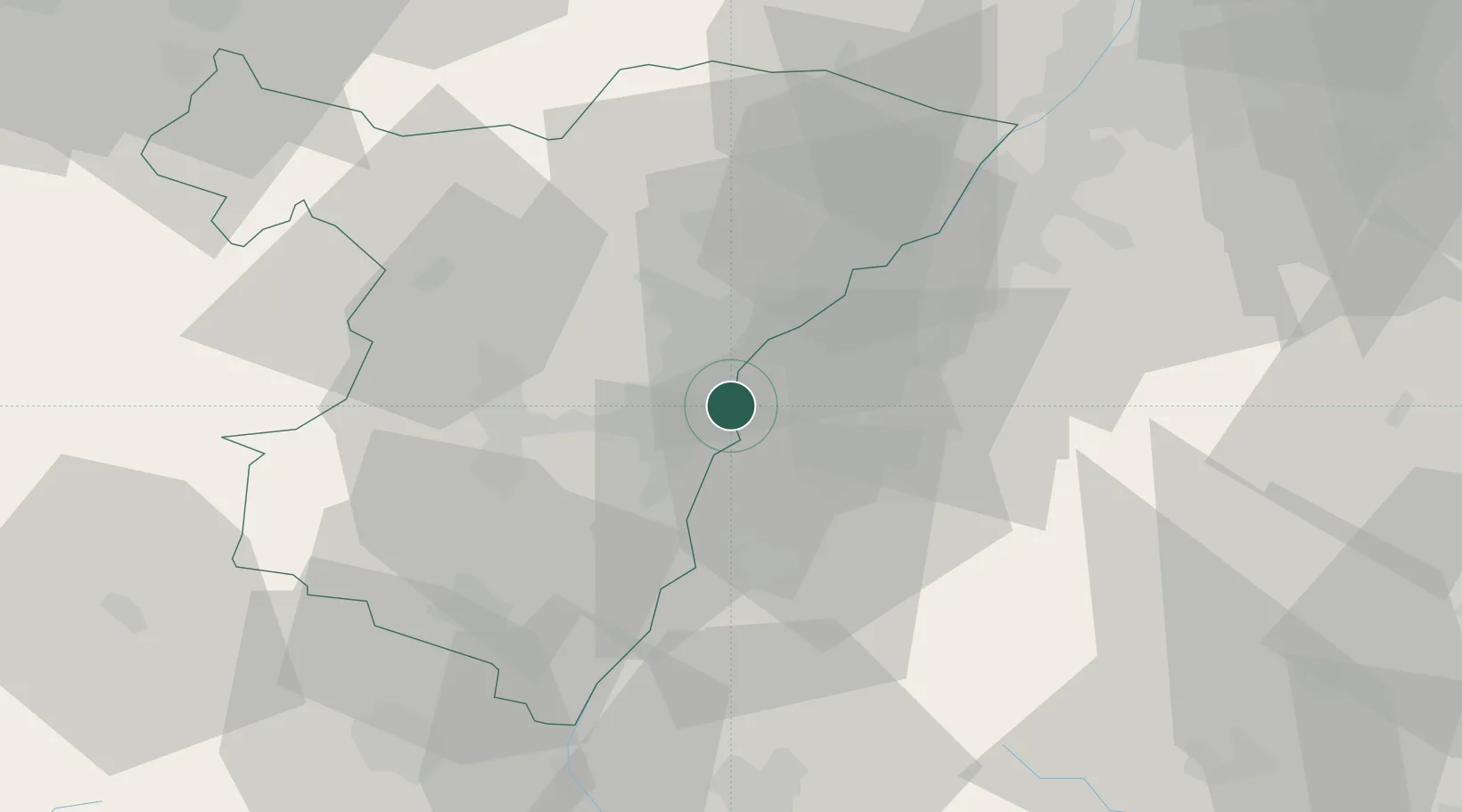
Hub Profile
Region
68
Location
Nearby Logistics Neighbours
Cities
- 1Strasbourg1 km
- 2Kehl4 km
- 3Cronenbourg4 km
- 4Bischheim7 km
- 5Eckbolsheim9 km
Airports
- 1Strasbourg Airport13 km
- 2Lahr Airport22 km
- 3Karlsruhe Baden-Baden Airport31 km
- 4Phalsbourg-Bourscheid Air Base49 km
- 5Colmar Houssen airport60 km
Trade Zones
- 1ZFU Neuhof4 km
- 2ZFU Hautepierre9 km
- 3ZFU La Cité Behren-lès-Forbach92 km
- 4ZFU Mulhouse97 km
- 5ZFU Maxéville, Laxou, et de Nancy121 km
DatabookThe Record of Consolidated Knowledge
France beyond logistics?