Transport Functions
Multimodal
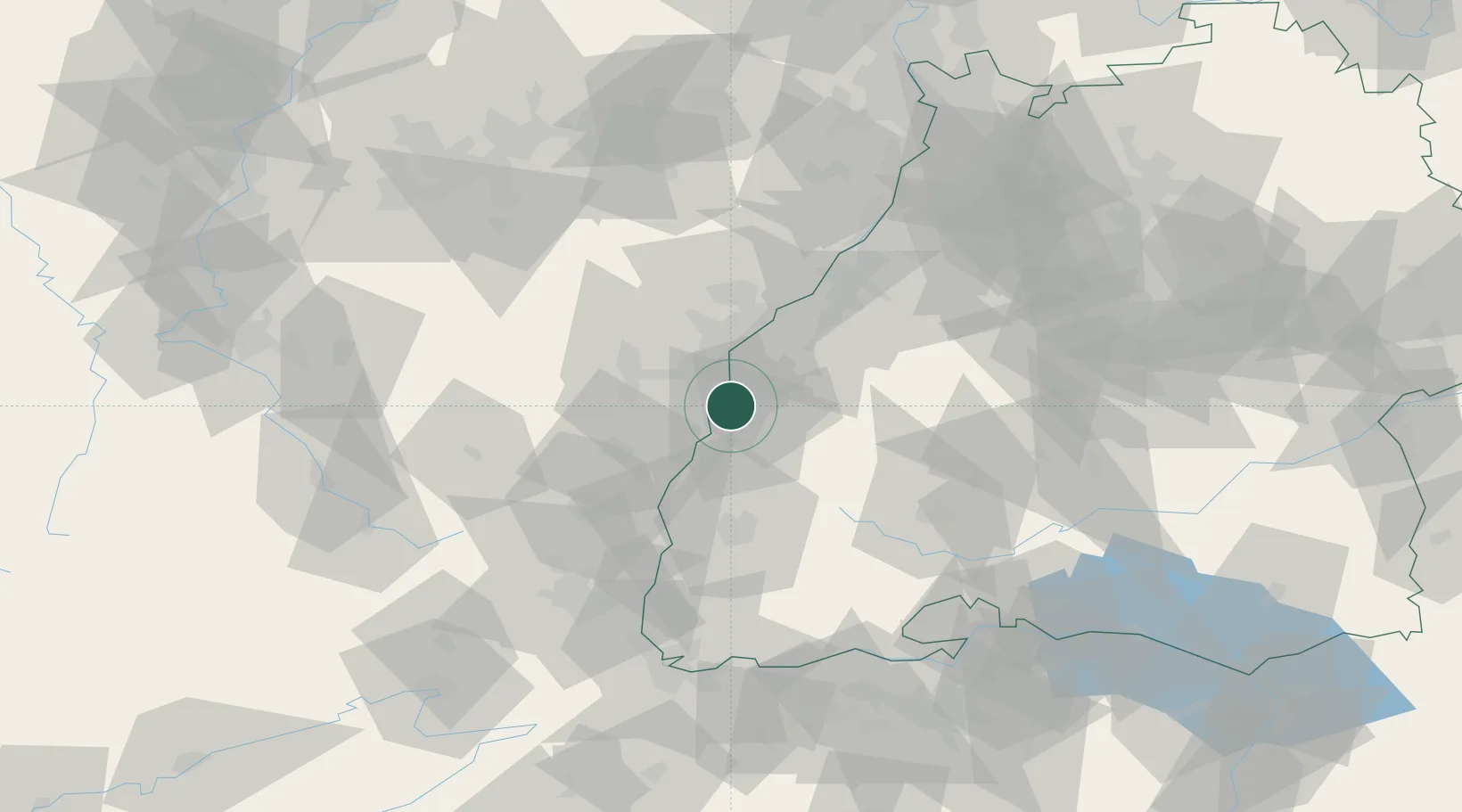
Hub Profile
Place type
Populated place
Region
Baden-Wurttemberg
Population
3,012
Time zone
Europe/Berlin
Elevation
149 m
Location
Nearby Logistics Neighbours
Cities
- 1Schutterwald5 km
- 2Plobsheim8 km
- 3Friesenheim (Baden)9 km
- 4Hipsheim11 km
- 5Nordhouse11 km
Airports
- 1Lahr Airport7 km
- 2Strasbourg Airport18 km
- 3Karlsruhe Baden-Baden Airport43 km
- 4Colmar Houssen airport49 km
- 5Phalsbourg-Bourscheid Air Base59 km
Trade Zones
- 1ZFU Neuhof13 km
- 2ZFU Hautepierre20 km
- 3ZFU Mulhouse84 km
- 4ZFU La Cité Behren-lès-Forbach104 km
- 5ZFU Belfort115 km
DatabookThe Record of Consolidated Knowledge
Germany beyond logistics?