Transport Functions
Multimodal
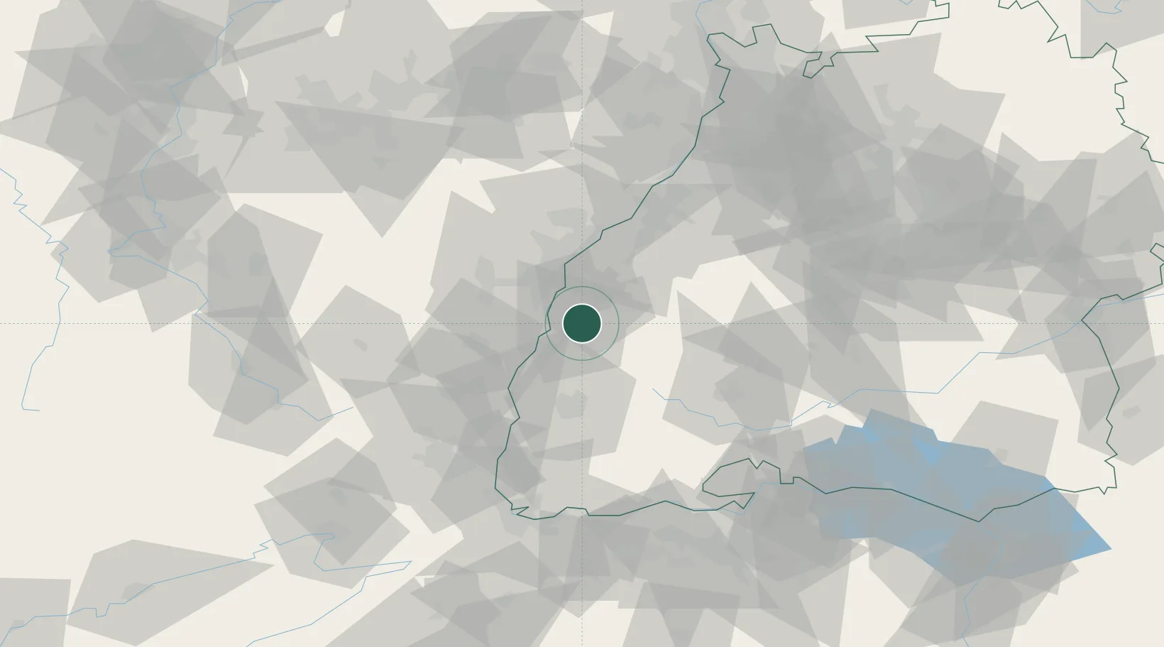
Hub Profile
Region
BW
Location
Nearby Logistics Neighbours
Cities
- 1Seelbach7 km
- 2Ichenheim9 km
- 3Schutterwald9 km
- 4Biberach12 km
- 5Schuttertal13 km
Airports
- 1Lahr Airport4 km
- 2Strasbourg Airport27 km
- 3Karlsruhe Baden-Baden Airport48 km
- 4Colmar Houssen airport48 km
- 5Donaueschingen-Villingen Airfield65 km
Trade Zones
- 1ZFU Neuhof21 km
- 2ZFU Hautepierre29 km
- 3ZFU Mulhouse80 km
- 4ZFU La Cité Behren-lès-Forbach113 km
- 5ZFU Belfort113 km
DatabookThe Record of Consolidated Knowledge
Germany beyond logistics?