Transport Functions
Port
Rail
Road
Airport
Postal
Hub Profile
Place type
Regional capital
Region
Grand Est
Population
274,845
Time zone
Europe/Paris
Elevation
147 m
Logistics facilities
8
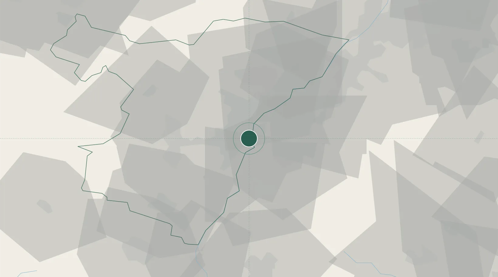
Location
Nearby Logistics Neighbours
Cities
- 1Port-du-Rhin/Strasbourg1 km
- 2Cronenbourg5 km
- 3Kehl5 km
- 4Bischheim7 km
- 5Eckbolsheim9 km
Airports
- 1Strasbourg Airport12 km
- 2Lahr Airport21 km
- 3Karlsruhe Baden-Baden Airport33 km
- 4Phalsbourg-Bourscheid Air Base49 km
- 5Colmar Houssen airport59 km
Trade Zones
- 1ZFU Neuhof3 km
- 2ZFU Hautepierre8 km
- 3ZFU La Cité Behren-lès-Forbach93 km
- 4ZFU Mulhouse96 km
- 5ZFU Maxéville, Laxou, et de Nancy121 km
DatabookThe Record of Consolidated Knowledge
France beyond logistics?