Transport Functions
Port
Road
Multimodal
Hub Profile
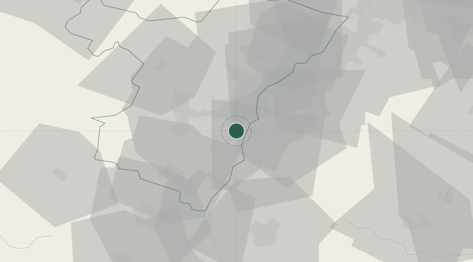
Place type
Populated place
Region
Grand Est
Population
3,829
Time zone
Europe/Paris
Elevation
146 m
Location
Nearby Logistics Neighbours
Cities
- 1Hipsheim3 km
- 2Lipsheim4 km
- 3Nordhouse4 km
- 4Geispolsheim7 km
- 5Ichenheim8 km
Airports
- 1Strasbourg Airport10 km
- 2Lahr Airport14 km
- 3Karlsruhe Baden-Baden Airport44 km
- 4Colmar Houssen airport48 km
- 5Phalsbourg-Bourscheid Air Base51 km
Trade Zones
- 1ZFU Neuhof9 km
- 2ZFU Hautepierre14 km
- 3ZFU Mulhouse85 km
- 4ZFU La Cité Behren-lès-Forbach97 km
- 5ZFU Belfort114 km
DatabookThe Record of Consolidated Knowledge
France beyond logistics?