Transport Functions
Road
Multimodal
Hub Profile
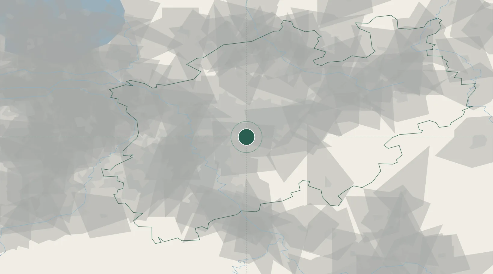
Region
NW
Location
Nearby Logistics Neighbours
Cities
- 1Sundern8 km
- 2Hagen15 km
- 3Breckerfeld18 km
- 4Remscheid19 km
- 5Holthausen21 km
Airports
- 1Dortmund Airport31 km
- 2Düsseldorf Airport34 km
- 3Mönchengladbach Airport54 km
- 4Cologne Bonn Airport54 km
- 5Nörvenich Air Base71 km
Trade Zones
- 1Freeport of Duisburg47 km
- 2Rheinische Revier SWZ78 km
- 3Luxembourg Free Port204 km
- 4Freeport of Bremerhaven (Freihafen Bremerhaven)220 km
- 5Freeport of Emden221 km
DatabookThe Record of Consolidated Knowledge
Germany beyond logistics?