Transport Functions
Rail
Road
Hub Profile
Place type
Urban district
Region
North Rhine-Westphalia
Time zone
Europe/Berlin
Elevation
158 m
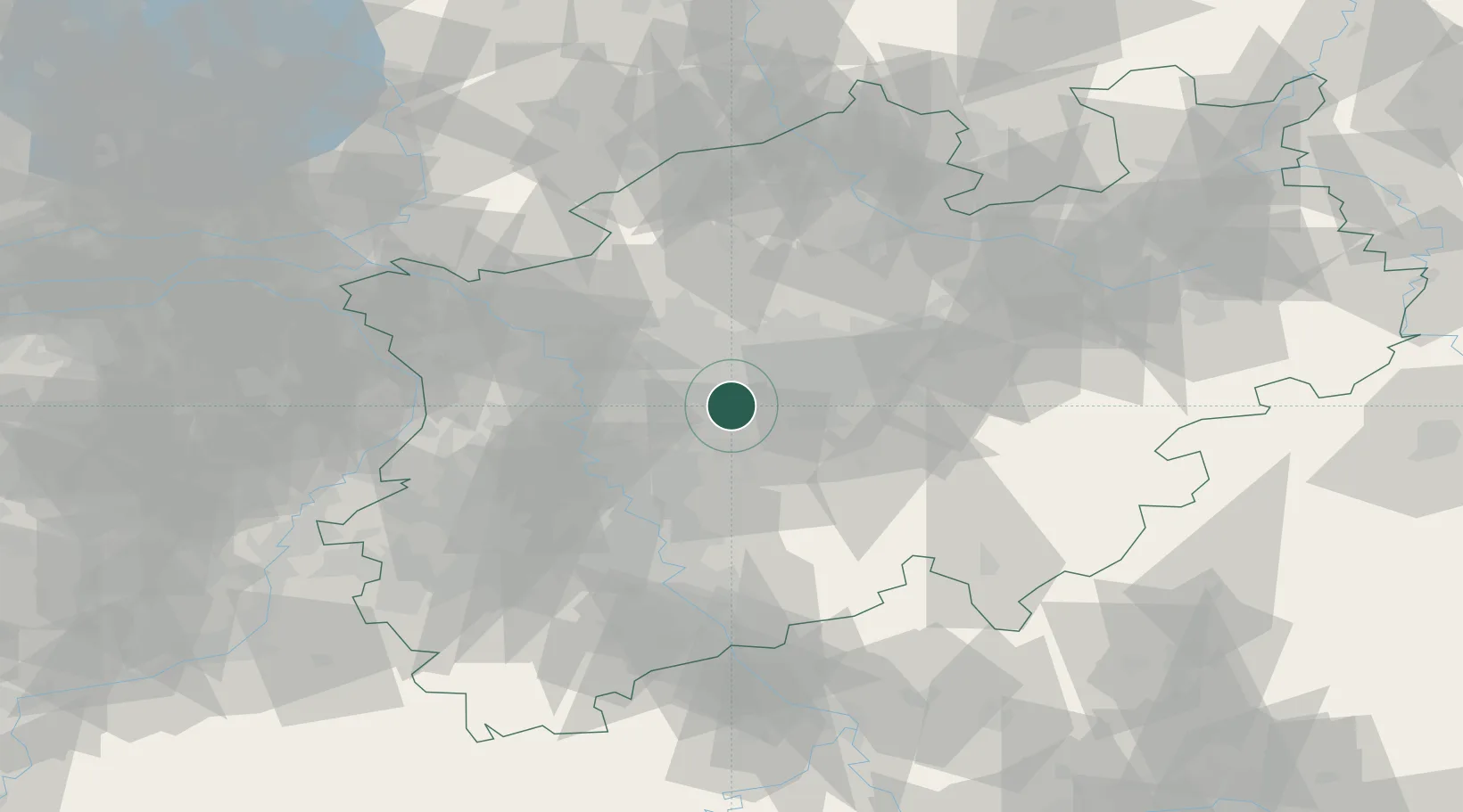
Location
Nearby Logistics Neighbours
Cities
- 1Sprockhövel8 km
- 2Gelsenkirchen13 km
- 3Wanne-Eickel13 km
- 4Holthausen14 km
- 5Herne15 km
Airports
- 1Dortmund Airport31 km
- 2Düsseldorf Airport33 km
- 3Mönchengladbach Airport53 km
- 4Cologne Bonn Airport61 km
- 5Nörvenich Air Base75 km
Trade Zones
- 1Freeport of Duisburg43 km
- 2Rheinische Revier SWZ80 km
- 3Luxembourg Free Port209 km
- 4Freeport of Emden213 km
- 5Freeport of Bremerhaven (Freihafen Bremerhaven)215 km
DatabookThe Record of Consolidated Knowledge
Germany beyond logistics?