Transport Functions
Rail
Road
Hub Profile
Place type
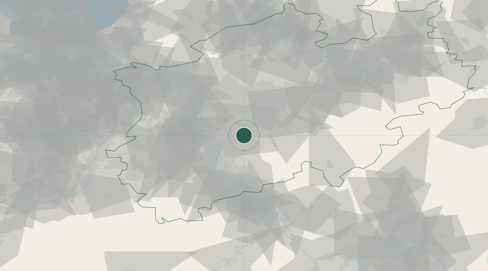
District seat
Region
North Rhine-Westphalia
Population
117,118
Time zone
Europe/Berlin
Elevation
351 m
Location
Nearby Logistics Neighbours
Cities
- 1Wiehagen8 km
- 2Grimberg15 km
- 3Sprockhövel19 km
- 4Breckerfeld21 km
- 5Erkrath22 km
Airports
- 1Düsseldorf Airport32 km
- 2Cologne Bonn Airport36 km
- 3Dortmund Airport47 km
- 4Mönchengladbach Airport49 km
- 5Nörvenich Air Base55 km
Trade Zones
- 1Freeport of Duisburg52 km
- 2Rheinische Revier SWZ65 km
- 3Luxembourg Free Port185 km
- 4ZFU La Cité Behren-lès-Forbach225 km
- 5ZFU Ronde Couture238 km
DatabookThe Record of Consolidated Knowledge
Germany beyond logistics?