Transport Functions
Port
Road
Hub Profile
Place type
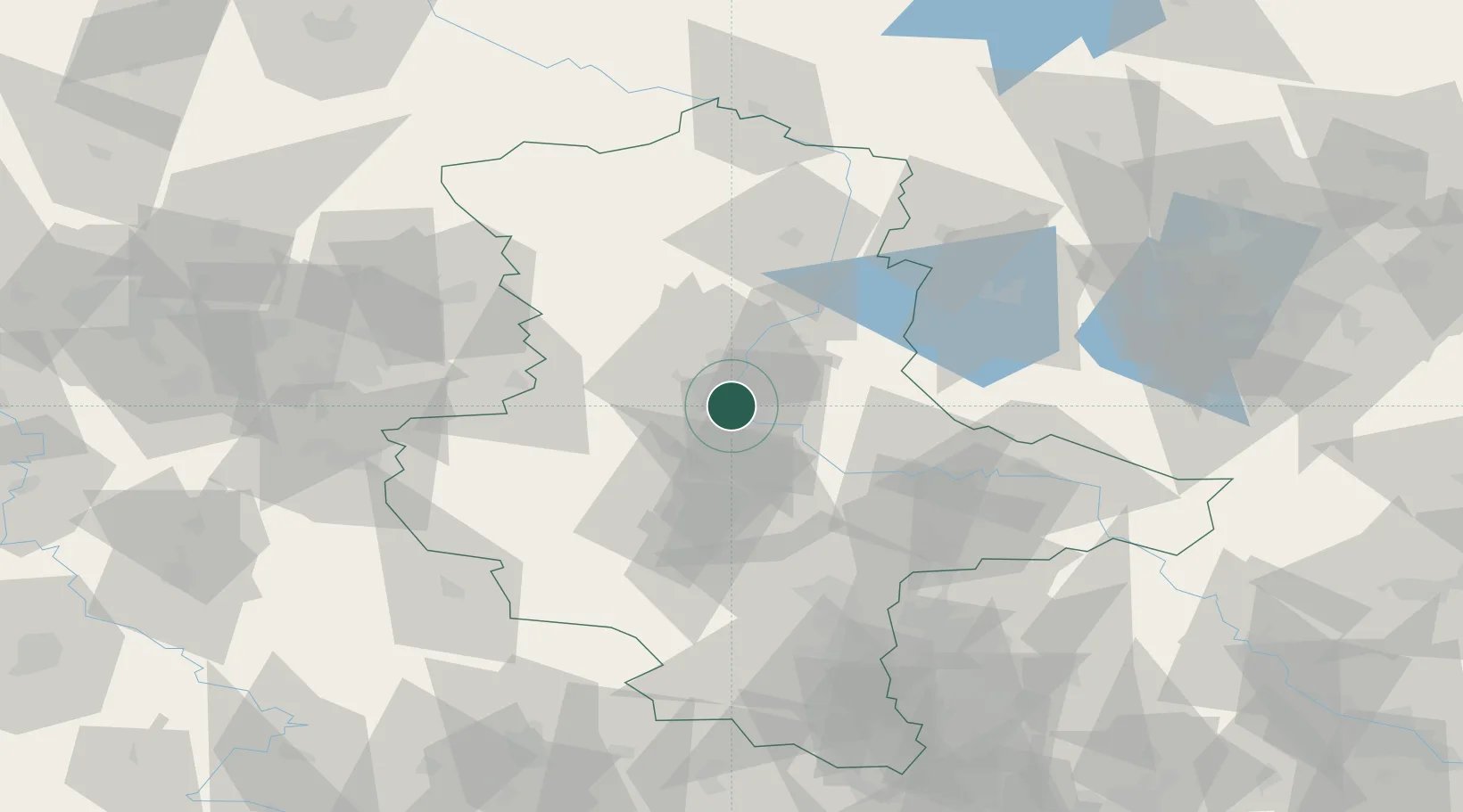
Populated place
Region
Saxony-Anhalt
Time zone
Europe/Berlin
Elevation
50 m
Location
Nearby Logistics Neighbours
Cities
- 1Schönebeck9 km
- 2Osterweddingen9 km
- 3Rothensee11 km
- 4Gommern11 km
- 5Langenweddingen12 km
Ports
- 1Hamburg200 km
- 2Wismar202 km
- 3Lubeck210 km
- 4Lubeck-Travemunde216 km
- 5Butzfleth226 km
Airports
- 1Zerbst Airfield34 km
- 2Braunschweig-Wolfsburg Airport80 km
- 3Leipzig/Halle Airport83 km
- 4Holzdorf Air Base109 km
- 5Celle Army Airfield125 km
Trade Zones
DatabookThe Record of Consolidated Knowledge
Germany beyond logistics?