Export Processing Zone · Czechia

Most - Joseph Industrial Zone Active
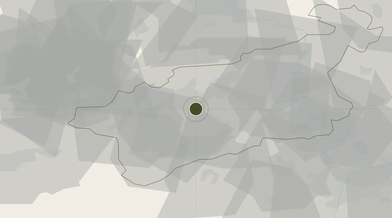
50.4850°, 13.6423°
196 ha
Zone area
331.9 km
Nearest port
60.4 km
Nearest airport

Gateway access

Nearest neighbours — logibook spatial index (haversine) over the source coordinates

Zone profile

Zone type
Export Processing Zone
Open Zone Map
Region
Ústecký
Open Zone Map
Status
Active
Open Zone Map
Management
Public
Open Zone Map
Operator
Municipality of Most, CzechInvest
Open Zone Map
Legal framework
Act No 72/2000 Coll., on Investment Incentives
Open Zone Map

Location

Location of ozm-1745
Natural Earth 10m (public domain) · Ústecký · ozm-1745 · 50.49, 13.64GoogleOSMYandex

Nearby Logistics Neighbours

Ports
  1. 1Szczecin332 km
  2. 2Police348 km
  3. 3Swinoujscie384 km
  4. 4Wolgast397 km
  5. 5Wismar408 km
Nearest neighbours — logibook spatial index (haversine) over the source coordinates
Airports
  1. 1Karlovy Vary Airport60 km
  2. 2Vodochody Airport61 km
  3. 3Václav Havel Airport Prague61 km
  4. 4Dresden Airport73 km
  5. 5Prague–Kbely Air Base76 km
Nearest neighbours — logibook spatial index (haversine) over the source coordinates
Cities
  1. 1Havran7 km
  2. 2Bílina11 km
  3. 3Libceves14 km
  4. 4Postoloprty14 km
  5. 5Haj u Duchcova15 km
Nearest neighbours — logibook spatial index (haversine) over the source coordinates
Trade Zones
  1. 1Žatec - Triangle Strategic Industrial Zone13 km
  2. 2Podbořany Industrial Zone33 km
  3. 3Kolín - Ovčáry Industrial Zone122 km
  4. 4Industrial Zone Kutna Hora132 km
  5. 5Světlá nad Sázavou Municipal Industrial Zone156 km
Nearest neighbours — logibook spatial index (haversine) over the source coordinates
DatabookThe Record of Consolidated Knowledge
Czechia beyond logistics?
Browse databook

All Sources

Trade ZonesOpen Zone Map
CC BY
Portsthe NGA World Port Index
Public domain (US gov)
AirportsOurAirports
Public domain
LocationsUN/LOCODE
UN/LOCODE — free
← Czechia trade zones