UN/LOCODE hub · Germany
DEOHE

Rothensee

52.1833°, 11.6667°
2
Transport functions

Transport Functions

Port
Road
UN/LOCODE

Hub Profile

Place type
Populated place
GeoNames
Region
Saxony-Anhalt
GeoNames
Time zone
Europe/Berlin
GeoNames
Elevation
45 m
GeoNames

Location

Location of DEOHE
Natural Earth 10m (public domain) · Saxony-Anhalt · DEOHE · 52.18, 11.67GoogleOSMYandex

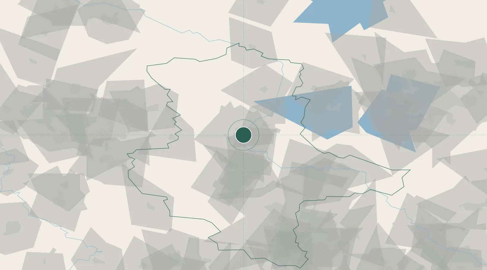
Nearby Logistics Neighbours

Cities
  1. 1Hohenwarthe7 km
  2. 2Körbelitz7 km
  3. 3Meitzendorf8 km
  4. 4Dahlenwarsleben9 km
  5. 5Heinrichsberg10 km
Nearest neighbours — logibook spatial index (haversine) over the source coordinates
Ports
  1. 1Wismar191 km
  2. 2Hamburg191 km
  3. 3Lubeck200 km
  4. 4Lubeck-Travemunde205 km
  5. 5Rostock215 km
Nearest neighbours — logibook spatial index (haversine) over the source coordinates
Airports
  1. 1Zerbst Airfield39 km
  2. 2Braunschweig-Wolfsburg Airport77 km
  3. 3Leipzig/Halle Airport93 km
  4. 4Holzdorf Air Base113 km
  5. 5Celle Army Airfield121 km
Nearest neighbours — logibook spatial index (haversine) over the source coordinates
Trade Zones
  1. 1Kostrzyń-Słubice SEZ207 km
  2. 2Freeport of Bremerhaven (Freihafen Bremerhaven)220 km
  3. 3Most - Joseph Industrial Zone233 km
  4. 4Žatec - Triangle Strategic Industrial Zone237 km
  5. 5Szczecin Duty Free Zone239 km
Nearest neighbours — logibook spatial index (haversine) over the source coordinates
DatabookThe Record of Consolidated Knowledge
Germany beyond logistics?
Browse databook

All Sources

LocationsUN/LOCODE
UN/LOCODE — free
Portsthe NGA World Port Index
Public domain (US gov)
AirportsOurAirports
Public domain
Trade Zonesthe World Bank SEZ database
CC BY 4.0
Trade ZonesOpen Zone Map
CC BY
← Germany locations