Export Processing Zone · Czechia

Podbořany Industrial Zone Active
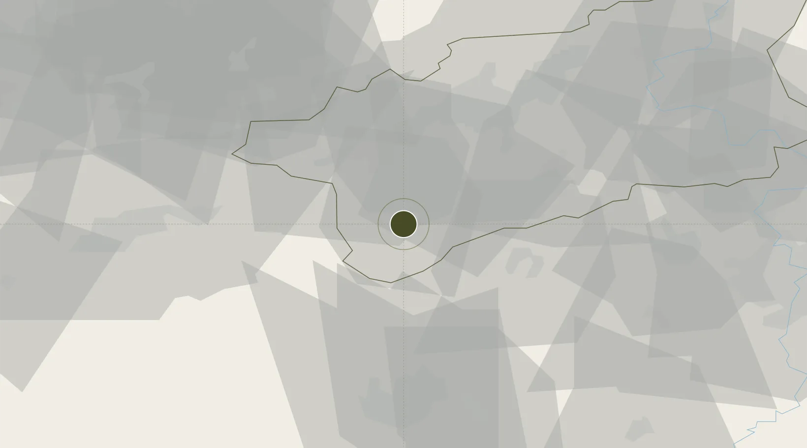
50.2282°, 13.4037°
64 ha
Zone area
363.2 km
Nearest port
34.9 km
Nearest airport

Gateway access

Nearest neighbours — logibook spatial index (haversine) over the source coordinates

Zone profile

Zone type
Export Processing Zone
Open Zone Map
Region
Ústecký
Open Zone Map
Status
Active
Open Zone Map
Management
Public-Private Partnership
Open Zone Map
Operator
Kunststofftechnik CZ s.r.o / Podbořany Municipal Authority
Open Zone Map
Legal framework
City of Podbořany OZV No. 2/2006, Act No 72/2000 Coll., on Investment Incentives
Open Zone Map

Location

Location of ozm-1744
Natural Earth 10m (public domain) · Ústecký · ozm-1744 · 50.23, 13.40GoogleOSMYandex

Nearby Logistics Neighbours

Ports
  1. 1Szczecin363 km
  2. 2Police380 km
  3. 3Swinoujscie414 km
  4. 4Wolgast426 km
  5. 5Wismar429 km
Nearest neighbours — logibook spatial index (haversine) over the source coordinates
Airports
  1. 1Karlovy Vary Airport35 km
  2. 2Plzeň-Líně Airport62 km
  3. 3Václav Havel Airport Prague63 km
  4. 4Vodochody Airport71 km
  5. 5Prague–Kbely Air Base82 km
Nearest neighbours — logibook spatial index (haversine) over the source coordinates
Cities
  1. 1Podborany2 km
  2. 2Kryry7 km
  3. 3Jesenice15 km
  4. 4Kadan20 km
  5. 5Prunérov23 km
Nearest neighbours — logibook spatial index (haversine) over the source coordinates
Trade Zones
  1. 1Žatec - Triangle Strategic Industrial Zone20 km
  2. 2Most - Joseph Industrial Zone33 km
  3. 3Kolín - Ovčáry Industrial Zone131 km
  4. 4Industrial Zone Kutna Hora138 km
  5. 5Světlá nad Sázavou Municipal Industrial Zone157 km
Nearest neighbours — logibook spatial index (haversine) over the source coordinates
DatabookThe Record of Consolidated Knowledge
Czechia beyond logistics?
Browse databook

All Sources

Trade ZonesOpen Zone Map
CC BY
Portsthe NGA World Port Index
Public domain (US gov)
AirportsOurAirports
Public domain
LocationsUN/LOCODE
UN/LOCODE — free
← Czechia trade zones