UN/LOCODE hub · Germany
DEOKE

Schönebeck

52.0167°, 11.7333°
3
Transport functions

Transport Functions

Port
Rail
Road
UN/LOCODE

Hub Profile

Place type
Populated place
GeoNames
Region
Lower Saxony
GeoNames
Time zone
Europe/Berlin
GeoNames
Elevation
6 m
GeoNames

Location

Location of DEOKE
Natural Earth 10m (public domain) · Lower Saxony · DEOKE · 52.02, 11.73GoogleOSMYandex

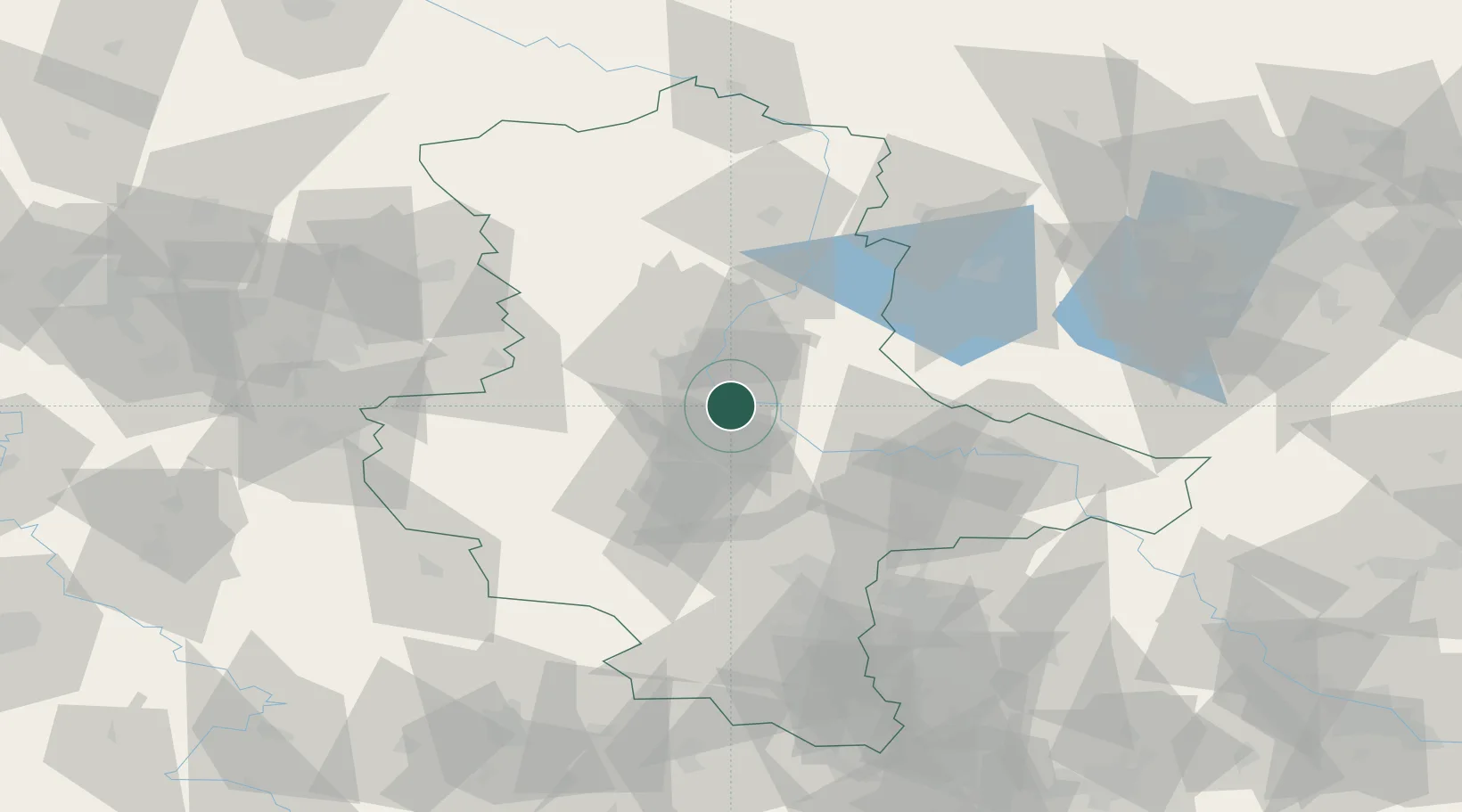
Nearby Logistics Neighbours

Cities
  1. 1Gnadau6 km
  2. 2Biere8 km
  3. 3Salbke9 km
  4. 4Eickendorf9 km
  5. 5Gommern10 km
Nearest neighbours — logibook spatial index (haversine) over the source coordinates
Ports
  1. 1Hamburg209 km
  2. 2Wismar210 km
  3. 3Lubeck219 km
  4. 4Lubeck-Travemunde224 km
  5. 5Rostock233 km
Nearest neighbours — logibook spatial index (haversine) over the source coordinates
Airports
  1. 1Zerbst Airfield29 km
  2. 2Leipzig/Halle Airport75 km
  3. 3Braunschweig-Wolfsburg Airport87 km
  4. 4Holzdorf Air Base102 km
  5. 5Berlin Brandenburg Airport127 km
Nearest neighbours — logibook spatial index (haversine) over the source coordinates
Trade Zones
  1. 1Kostrzyń-Słubice SEZ208 km
  2. 2Most - Joseph Industrial Zone216 km
  3. 3Žatec - Triangle Strategic Industrial Zone219 km
  4. 4Podbořany Industrial Zone231 km
  5. 5Freeport of Bremerhaven (Freihafen Bremerhaven)233 km
Nearest neighbours — logibook spatial index (haversine) over the source coordinates
DatabookThe Record of Consolidated Knowledge
Germany beyond logistics?
Browse databook

All Sources

LocationsUN/LOCODE
UN/LOCODE — free
Portsthe NGA World Port Index
Public domain (US gov)
AirportsOurAirports
Public domain
Trade Zonesthe World Bank SEZ database
CC BY 4.0
Trade ZonesOpen Zone Map
CC BY
← Germany locations