Medium airport · Germany

Celle Army AirfieldETHC
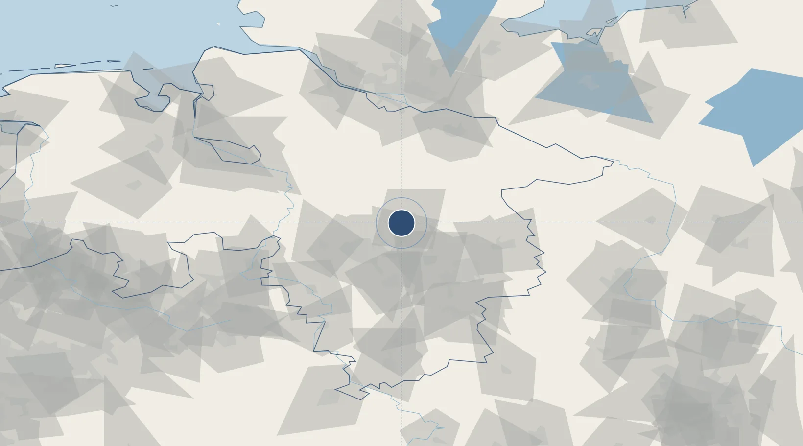
52.5912°, 10.0221°
6,007 ft
Longest runway
1
Runways
129 ft
Elevation

Runway & Layout

Celle Army Airfield runway & taxiway layout
Runway & taxiway layout — OpenStreetMap (ODbL) / OurAirports

Radio Frequencies

TWR
40.6 MHz
A/D
130.5 MHz
RADAR
A/G
40.6 MHz
A/G RDO
ACC
131.325 MHz
BREMEN CON
OurAirports

Navaids

CEL NDB Celle 311 kHz
OurAirports

Runways · 1

RunwayDimensions SurfaceTrue headingLit
08/26 6,007 × 148ft Asphalt 081°
OurAirports

Airport Specifications

ICAO code
ETHC
OurAirports
Airport class
Medium airport
OurAirports
Scheduled service
No
OurAirports
Runway surface
Asphalt
OurAirports
Served city
Celle
OurAirports

Location

Location of ETHC
Natural Earth 10m (public domain) · Niedersachsen · ETHC · 52.59, 10.02GoogleOSMYandex

Nearby Logistics Neighbours

Airports
  1. 1Hannover Airport27 km
  2. 2Faßberg Air Base38 km
  3. 3Wunstorf Air Base43 km
  4. 4Braunschweig-Wolfsburg Airport47 km
  5. 5Bückeburg Air Base73 km
Nearest neighbours — logibook spatial index (haversine) over the source coordinates
Cities
  1. 1Celle5 km
  2. 2Wietze14 km
  3. 3Uetze20 km
  4. 4Hainhaus21 km
  5. 5Lehrte23 km
Nearest neighbours — logibook spatial index (haversine) over the source coordinates
Ports
  1. 1Bremen104 km
  2. 2Hamburg107 km
  3. 3Butzfleth123 km
  4. 4Elsfleth126 km
  5. 5Brake132 km
Nearest neighbours — logibook spatial index (haversine) over the source coordinates
Trade Zones
  1. 1Freeport of Bremerhaven (Freihafen Bremerhaven)101 km
  2. 2Freeport of Cuxhaven (Freihafen Cuxhaven)168 km
  3. 3Freeport of Kiel194 km
  4. 4Freeport of Emden207 km
  5. 5Freeport of Duisburg267 km
Nearest neighbours — logibook spatial index (haversine) over the source coordinates
DatabookThe Record of Consolidated Knowledge
Germany beyond logistics?
Browse databook

All Sources

AirportsOurAirports
Public domain
Portsthe NGA World Port Index
Public domain (US gov)
LocationsUN/LOCODE
UN/LOCODE — free
Trade Zonesthe World Bank SEZ database
CC BY 4.0
Trade ZonesOpen Zone Map
CC BY
InfrastructureOpenStreetMap
ODbL 1.0
← Germany airports