Transport Functions
Rail
Road
Hub Profile
Place type
Populated place
Region
Saxony-Anhalt
Time zone
Europe/Berlin
Elevation
85 m
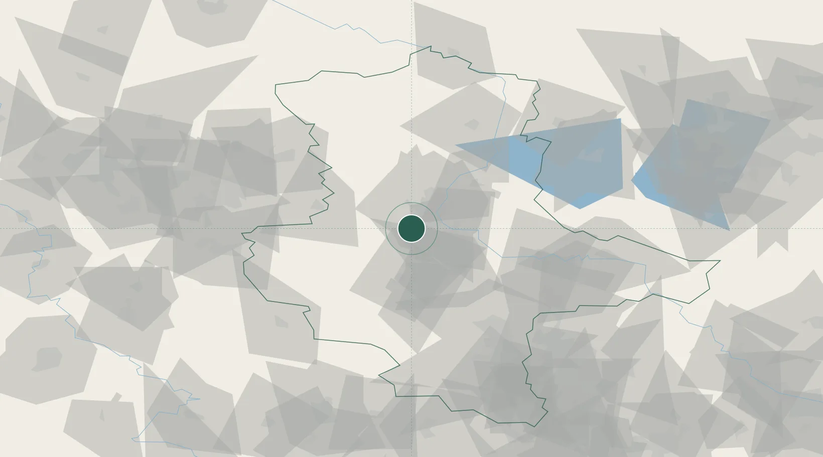
Location
Nearby Logistics Neighbours
Cities
- 1Osterweddingen3 km
- 2Wolmirsleben10 km
- 3Salbke12 km
- 4Biere12 km
- 5Eickendorf14 km
Ports
- 1Hamburg199 km
- 2Wismar208 km
- 3Lubeck213 km
- 4Lubeck-Travemunde219 km
- 5Bremen222 km
Airports
- 1Zerbst Airfield43 km
- 2Braunschweig-Wolfsburg Airport73 km
- 3Leipzig/Halle Airport84 km
- 4Holzdorf Air Base117 km
- 5Celle Army Airfield119 km
Trade Zones
DatabookThe Record of Consolidated Knowledge
Germany beyond logistics?