Large airport · Germany

Leipzig/Halle AirportEDDP
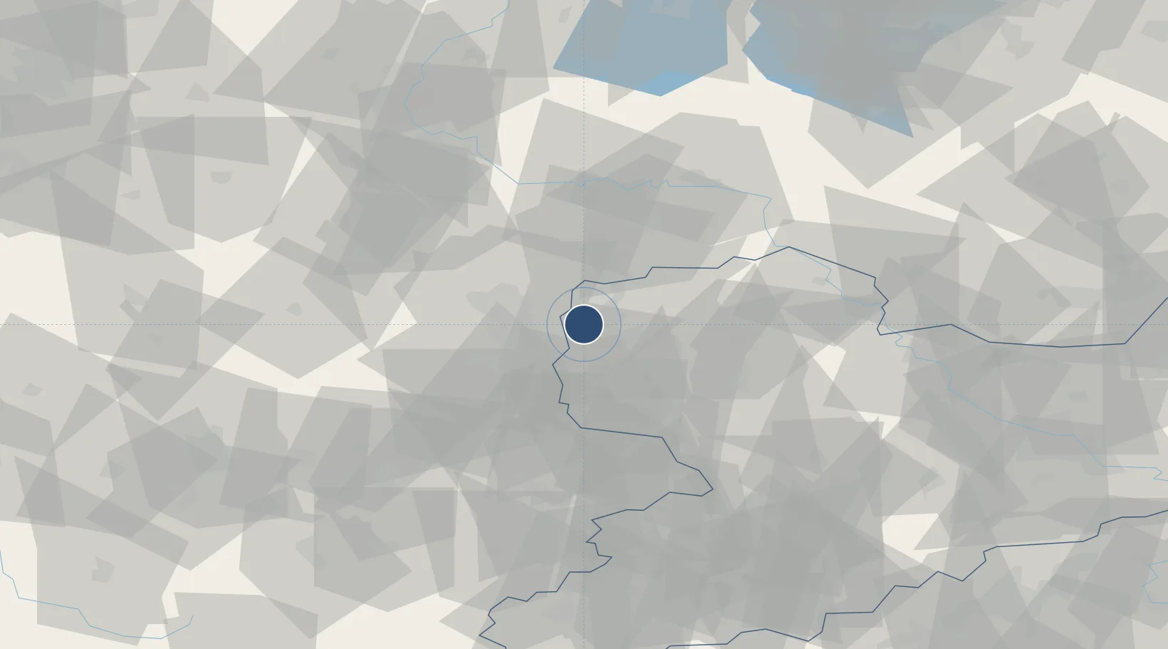
51.4207°, 12.2327°
11,811 ft
Longest runway
2
Runways
465 ft
Elevation

Runway & Layout

Leipzig/Halle Airport runway & taxiway layout
Runway & taxiway layout — OpenStreetMap (ODbL) / OurAirports

Radio Frequencies

ATIS
123.95 MHz
TWR
121.1 MHz
GND
121.8 MHz
APP
124.175 MHz
MUNCHEN RADAR
INFO
125.8 MHz
MUNCHEN INFO
OurAirports

Navaids

LED DME Leipzig South 112.15 MHz
LEG VOR-DME Leipzig 115.85 MHz
LND DME Leipzig North 113.50 MHz
MA NDB Leipzig 357 kHz
SK NDB Leipzig 434 kHz
ZIG NDB Leipzig 340 kHz
OurAirports

Runways · 2

RunwayDimensions SurfaceTrue headingLit
08L/26R 11,811 × 148ft Concrete 086°
08R/26L 11,811 × 198ft Concrete 086°
OurAirports

Airport Specifications

IATA code
LEJ
OurAirports
ICAO code
EDDP
OurAirports
Airport class
Large airport
OurAirports
Scheduled service
Yes
OurAirports
Runway surface
Concrete
OurAirports
Served city
Schkeuditz
OurAirports

Location

Location of EDDP
Natural Earth 10m (public domain) · Sachsen · EDDP · 51.42, 12.23GoogleOSMYandex

Nearby Logistics Neighbours

Airports
  1. 1Leipzig–Altenburg Airport52 km
  2. 2Zerbst Airfield65 km
  3. 3Holzdorf Air Base75 km
  4. 4Erfurt-Weimar Airport101 km
  5. 5Dresden Airport111 km
Nearest neighbours — logibook spatial index (haversine) over the source coordinates
Cities
  1. 1Radefeld5 km
  2. 2Leipzig5 km
  3. 3Böhlitz-Ehrenberg7 km
  4. 4Dölzig8 km
  5. 5Günthersdorf9 km
Nearest neighbours — logibook spatial index (haversine) over the source coordinates
Ports
  1. 1Szczecin272 km
  2. 2Wismar281 km
  3. 3Hamburg283 km
  4. 4Police286 km
  5. 5Lubeck293 km
Nearest neighbours — logibook spatial index (haversine) over the source coordinates
Trade Zones
  1. 1Most - Joseph Industrial Zone143 km
  2. 2Žatec - Triangle Strategic Industrial Zone146 km
  3. 3Podbořany Industrial Zone156 km
  4. 4Kostrzyń-Słubice SEZ210 km
  5. 5Legnica SEZ (Legnicka SSE)257 km
Nearest neighbours — logibook spatial index (haversine) over the source coordinates
DatabookThe Record of Consolidated Knowledge
Germany beyond logistics?
Browse databook

All Sources

AirportsOurAirports
Public domain
Portsthe NGA World Port Index
Public domain (US gov)
LocationsUN/LOCODE
UN/LOCODE — free
Trade Zonesthe World Bank SEZ database
CC BY 4.0
Trade ZonesOpen Zone Map
CC BY
InfrastructureOpenStreetMap
ODbL 1.0
← Germany airports