Export Processing Zone · Czechia

Žatec - Triangle Strategic Industrial Zone Active
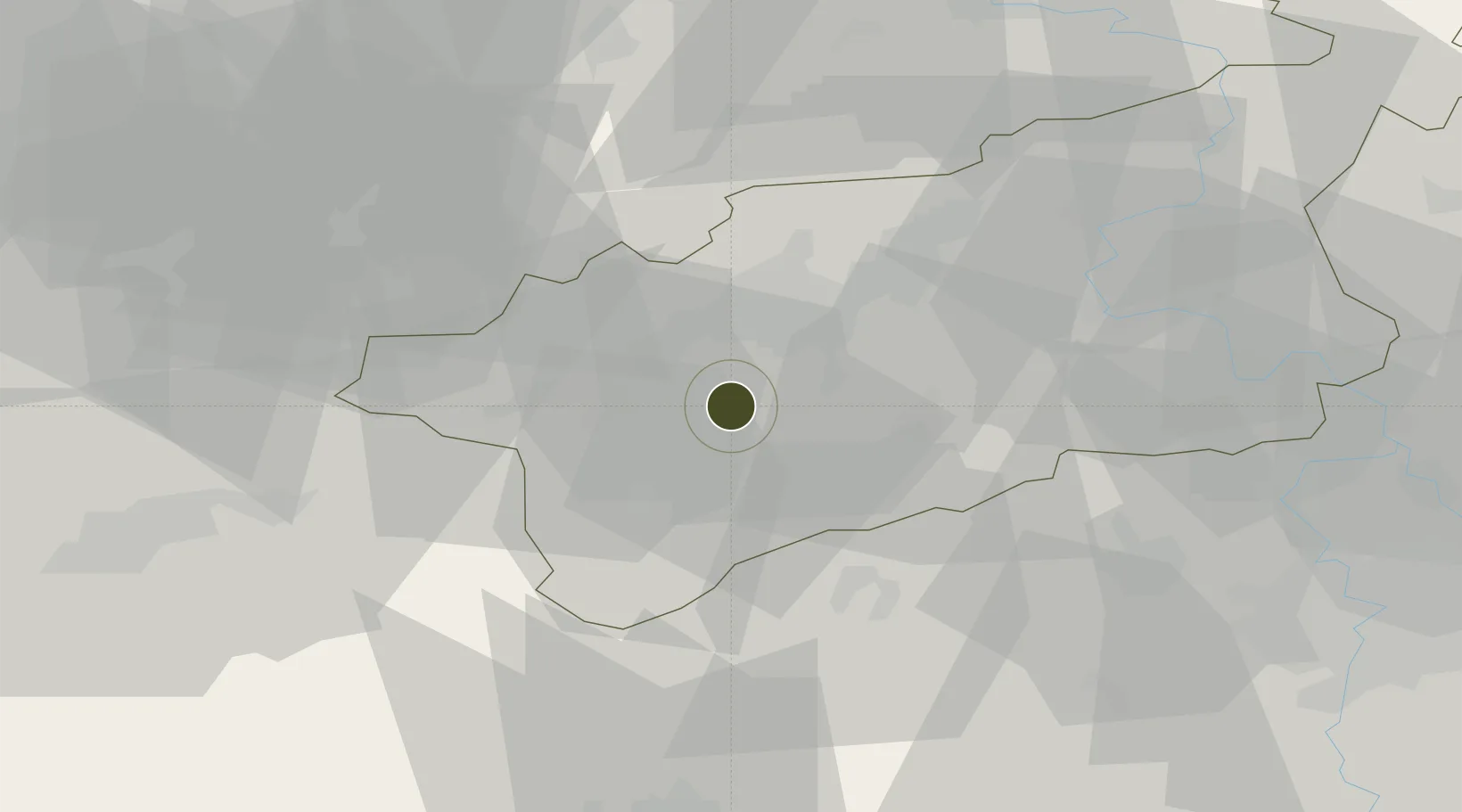
50.3942°, 13.5247°
364 ha
Zone area
343.4 km
Nearest port
48.2 km
Nearest airport

Gateway access

Nearest neighbours — logibook spatial index (haversine) over the source coordinates

Zone profile

Zone type
Export Processing Zone
Open Zone Map
Region
Ústecký
Open Zone Map
Status
Active
Open Zone Map
Management
Public
Open Zone Map
Operator
SPZ Triangle Allowance Organization, Ústí Region Authority
Open Zone Map
Legal framework
Act No 72/2000 Coll., on Investment Incentives
Open Zone Map

Location

Location of ozm-1747
Natural Earth 10m (public domain) · Ústecký · ozm-1747 · 50.39, 13.52GoogleOSMYandex

Nearby Logistics Neighbours

Ports
  1. 1Szczecin343 km
  2. 2Police360 km
  3. 3Swinoujscie395 km
  4. 4Wolgast407 km
  5. 5Wismar414 km
Nearest neighbours — logibook spatial index (haversine) over the source coordinates
Airports
  1. 1Karlovy Vary Airport48 km
  2. 2Václav Havel Airport Prague62 km
  3. 3Vodochody Airport65 km
  4. 4Prague–Kbely Air Base79 km
  5. 5Plzeň-Líně Airport82 km
Nearest neighbours — logibook spatial index (haversine) over the source coordinates
Cities
  1. 1Havran7 km
  2. 2Postoloprty14 km
  3. 3Krasna Lipa15 km
  4. 4Kadan18 km
  5. 5Prunérov19 km
Nearest neighbours — logibook spatial index (haversine) over the source coordinates
Trade Zones
  1. 1Most - Joseph Industrial Zone13 km
  2. 2Podbořany Industrial Zone20 km
  3. 3Kolín - Ovčáry Industrial Zone126 km
  4. 4Industrial Zone Kutna Hora135 km
  5. 5Světlá nad Sázavou Municipal Industrial Zone158 km
Nearest neighbours — logibook spatial index (haversine) over the source coordinates
DatabookThe Record of Consolidated Knowledge
Czechia beyond logistics?
Browse databook

All Sources

Trade ZonesOpen Zone Map
CC BY
Portsthe NGA World Port Index
Public domain (US gov)
AirportsOurAirports
Public domain
LocationsUN/LOCODE
UN/LOCODE — free
← Czechia trade zones