Medium airport · Germany

Holzdorf Air BaseETSH
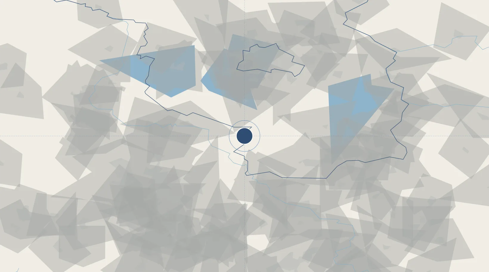
51.7678°, 13.1677°
7,936 ft
Longest runway
1
Runways
265 ft
Elevation

Runway & Layout

Holzdorf Air Base runway & taxiway layout
Runway & taxiway layout — OpenStreetMap (ODbL) / OurAirports

Radio Frequencies

TWR
122.1 MHz
A/D
38.54 MHz
RADAR
A/D
123.3 MHz
RADAR
AFIS
125.8 MHz
BERLIN INFO
ARR
126.425 MHz
BERLIN ARR
OurAirports

Navaids

HOZ TACAN Holzdorf 117.25 MHz
HOZ NDB Holzdorf 406 kHz
OurAirports

Runways · 1

RunwayDimensions SurfaceTrue headingLit
09/27 7,936 × 98ft Asphalt / concrete 093°
OurAirports

Airport Specifications

ICAO code
ETSH
OurAirports
Airport class
Medium airport
OurAirports
Scheduled service
No
OurAirports
Runway surface
Asphalt / concrete
OurAirports
Served city
Holzdorf
OurAirports

Location

Location of ETSH
Natural Earth 10m (public domain) · Brandenburg · ETSH · 51.77, 13.17GoogleOSMYandex

Nearby Logistics Neighbours

Airports
  1. 1Berlin Brandenburg Airport70 km
  2. 2Zerbst Airfield75 km
  3. 3Leipzig/Halle Airport75 km
  4. 4Dresden Airport82 km
  5. 5Leipzig–Altenburg Airport99 km
Nearest neighbours — logibook spatial index (haversine) over the source coordinates
Cities
  1. 1Rosswein11 km
  2. 2Jessen15 km
  3. 3Zellendorf16 km
  4. 4Prettin21 km
  5. 5Uebigau22 km
Nearest neighbours — logibook spatial index (haversine) over the source coordinates
Ports
  1. 1Szczecin206 km
  2. 2Police221 km
  3. 3Swinoujscie250 km
  4. 4Wolgast257 km
  5. 5Wismar263 km
Nearest neighbours — logibook spatial index (haversine) over the source coordinates
Trade Zones
  1. 1Kostrzyń-Słubice SEZ136 km
  2. 2Most - Joseph Industrial Zone146 km
  3. 3Žatec - Triangle Strategic Industrial Zone155 km
  4. 4Podbořany Industrial Zone172 km
  5. 5Legnica SEZ (Legnicka SSE)199 km
Nearest neighbours — logibook spatial index (haversine) over the source coordinates
DatabookThe Record of Consolidated Knowledge
Germany beyond logistics?
Browse databook

All Sources

AirportsOurAirports
Public domain
Portsthe NGA World Port Index
Public domain (US gov)
LocationsUN/LOCODE
UN/LOCODE — free
Trade Zonesthe World Bank SEZ database
CC BY 4.0
Trade ZonesOpen Zone Map
CC BY
InfrastructureOpenStreetMap
ODbL 1.0
← Germany airports