Medium airport · Germany

Braunschweig-Wolfsburg AirportEDVE
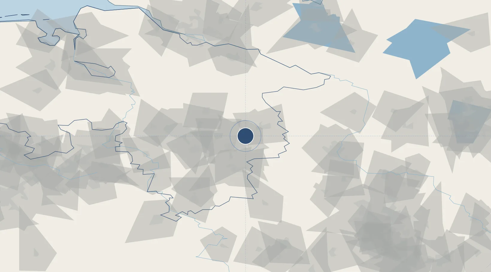
52.3192°, 10.5561°
7,546 ft
Longest runway
1
Runways
295 ft
Elevation

Runway & Layout

Braunschweig-Wolfsburg Airport runway & taxiway layout
Runway & taxiway layout — OpenStreetMap (ODbL) / OurAirports

Radio Frequencies

ATIS
134.455 MHz
Braunschweig ATIS
TWR
120.05 MHz
AFIS
119.825 MHz
Langen Information
OurAirports

Navaids

BRU NDB Braunschweig 427 kHz
OurAirports

Runways · 1

RunwayDimensions SurfaceTrue headingLit
08/26 7,546 × 148ft Asphalt 085°
OurAirports

Airport Specifications

IATA code
BWE
OurAirports
ICAO code
EDVE
OurAirports
Airport class
Medium airport
OurAirports
Scheduled service
No
OurAirports
Runway surface
Asphalt
OurAirports
Served city
Braunschweig
OurAirports

Location

Location of EDVE
Natural Earth 10m (public domain) · Niedersachsen · EDVE · 52.32, 10.56GoogleOSMYandex

Nearby Logistics Neighbours

Airports
  1. 1Celle Army Airfield47 km
  2. 2Hannover Airport61 km
  3. 3Faßberg Air Base71 km
  4. 4Wunstorf Air Base78 km
  5. 5Bückeburg Air Base100 km
Nearest neighbours — logibook spatial index (haversine) over the source coordinates
Cities
  1. 1Abbesbüttel4 km
  2. 2Thune4 km
  3. 3Bracht5 km
  4. 4Braunschweig7 km
  5. 5Cremlingen10 km
Nearest neighbours — logibook spatial index (haversine) over the source coordinates
Ports
  1. 1Hamburg143 km
  2. 2Bremen151 km
  3. 3Butzfleth164 km
  4. 4Elsfleth173 km
  5. 5Lubeck174 km
Nearest neighbours — logibook spatial index (haversine) over the source coordinates
Trade Zones
  1. 1Freeport of Bremerhaven (Freihafen Bremerhaven)148 km
  2. 2Freeport of Cuxhaven (Freihafen Cuxhaven)214 km
  3. 3Freeport of Kiel226 km
  4. 4Freeport of Emden253 km
  5. 5Kostrzyń-Słubice SEZ278 km
Nearest neighbours — logibook spatial index (haversine) over the source coordinates
DatabookThe Record of Consolidated Knowledge
Germany beyond logistics?
Browse databook

All Sources

AirportsOurAirports
Public domain
Portsthe NGA World Port Index
Public domain (US gov)
LocationsUN/LOCODE
UN/LOCODE — free
Trade Zonesthe World Bank SEZ database
CC BY 4.0
Trade ZonesOpen Zone Map
CC BY
InfrastructureOpenStreetMap
ODbL 1.0
← Germany airports