Channel & Berth Profile
Pilotage, Tugs & Services
Pilotage compulsoryYES
Tug assistanceYES
Potable waterYES
Diesel bunkersYES
MedicalYES
Garbage disposalYES
Facilities & Capabilities
Container—
Ro-Ro—
Liquid bulk—
Dry bulk—
Oil terminal—
Break bulk—
Dry dock—
RepairsNO
BunkeringYES
Rail linkYES
Dangerous cargo—
ISPS security—
Harbour Specifications
Harbour size
Small
Harbour type
Open Roadstead
Shelter
Good
Water body
North Sea; North Atlantic Ocean
Tidal range
3 m
Pilotage
Yes
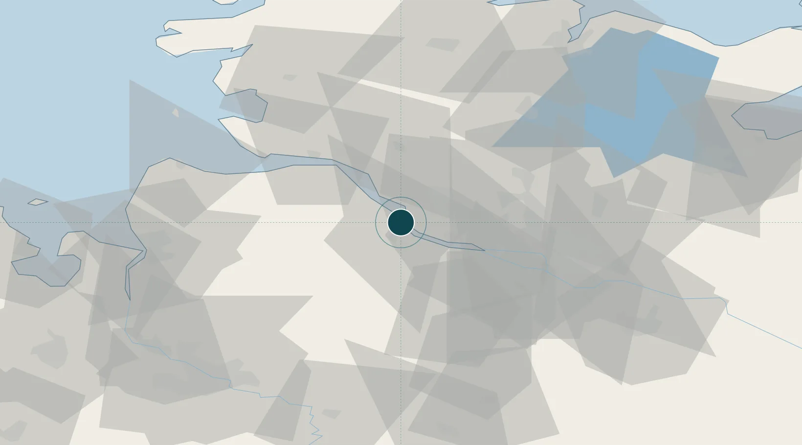
Location
Nearby Logistics Neighbours
Ports
- 1Gluckstadt16 km
- 2Itzehoe30 km
- 3Hamburg30 km
- 4Brunsbuttel Elbahafen35 km
- 5Neuhaus36 km
Cities
- 1Stader Sand2 km
- 2Abbenfleth3 km
- 3Barnkrug5 km
- 4Haseldorf6 km
- 5Stade6 km
Airports
Trade Zones
DatabookThe Record of Consolidated Knowledge
Germany beyond logistics?