Transport Functions
Rail
Road
Hub Profile
Place type
Populated place
Region
Saxony-Anhalt
Time zone
Europe/Berlin
Elevation
70 m
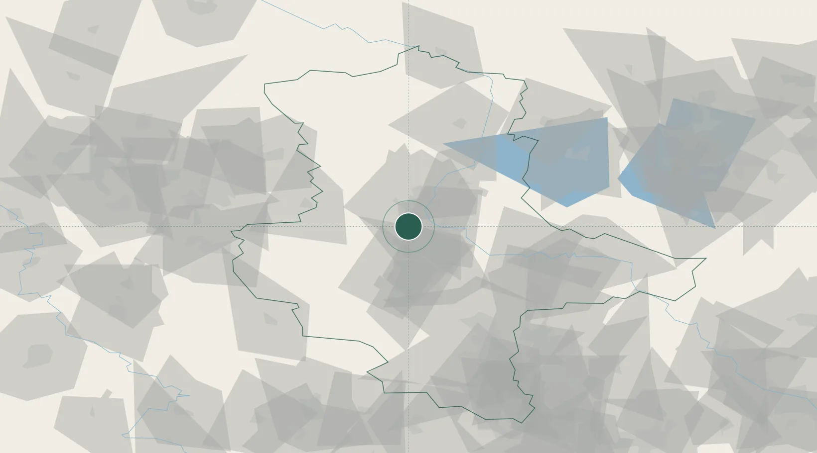
Location
Nearby Logistics Neighbours
Cities
- 1Langenweddingen3 km
- 2Salbke9 km
- 3Biere9 km
- 4Wolmirsleben11 km
- 5Eickendorf12 km
Ports
- 1Hamburg201 km
- 2Wismar208 km
- 3Lubeck214 km
- 4Lubeck-Travemunde220 km
- 5Bremen225 km
Airports
- 1Zerbst Airfield40 km
- 2Braunschweig-Wolfsburg Airport76 km
- 3Leipzig/Halle Airport82 km
- 4Holzdorf Air Base114 km
- 5Celle Army Airfield122 km
Trade Zones
DatabookThe Record of Consolidated Knowledge
Germany beyond logistics?