Transport Functions
Rail
Road
Hub Profile
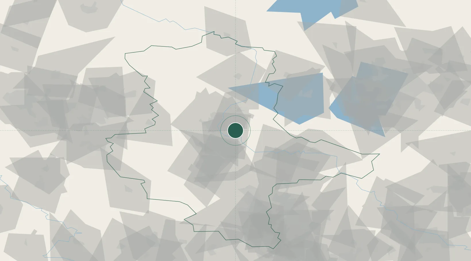
Place type
Populated place
Region
Saxony-Anhalt
Population
5,992
Time zone
Europe/Berlin
Elevation
56 m
Location
Nearby Logistics Neighbours
Cities
- 1Möckern10 km
- 2Schönebeck10 km
- 3Salbke11 km
- 4Körbelitz12 km
- 5Gnadau14 km
Ports
- 1Wismar204 km
- 2Hamburg207 km
- 3Lubeck214 km
- 4Lubeck-Travemunde219 km
- 5Rostock225 km
Airports
- 1Zerbst Airfield23 km
- 2Leipzig/Halle Airport79 km
- 3Braunschweig-Wolfsburg Airport91 km
- 4Holzdorf Air Base98 km
- 5Berlin Brandenburg Airport118 km
Trade Zones
DatabookThe Record of Consolidated Knowledge
Germany beyond logistics?