Runway & Layout

Radio Frequencies
AFIS
132.65 MHz
Langen Information
INFO
124.485 MHz
Zerbst Radio
Airport Specifications
ICAO code
EDUZ
Airport class
Medium airport
Scheduled service
No
Served city
Straguth
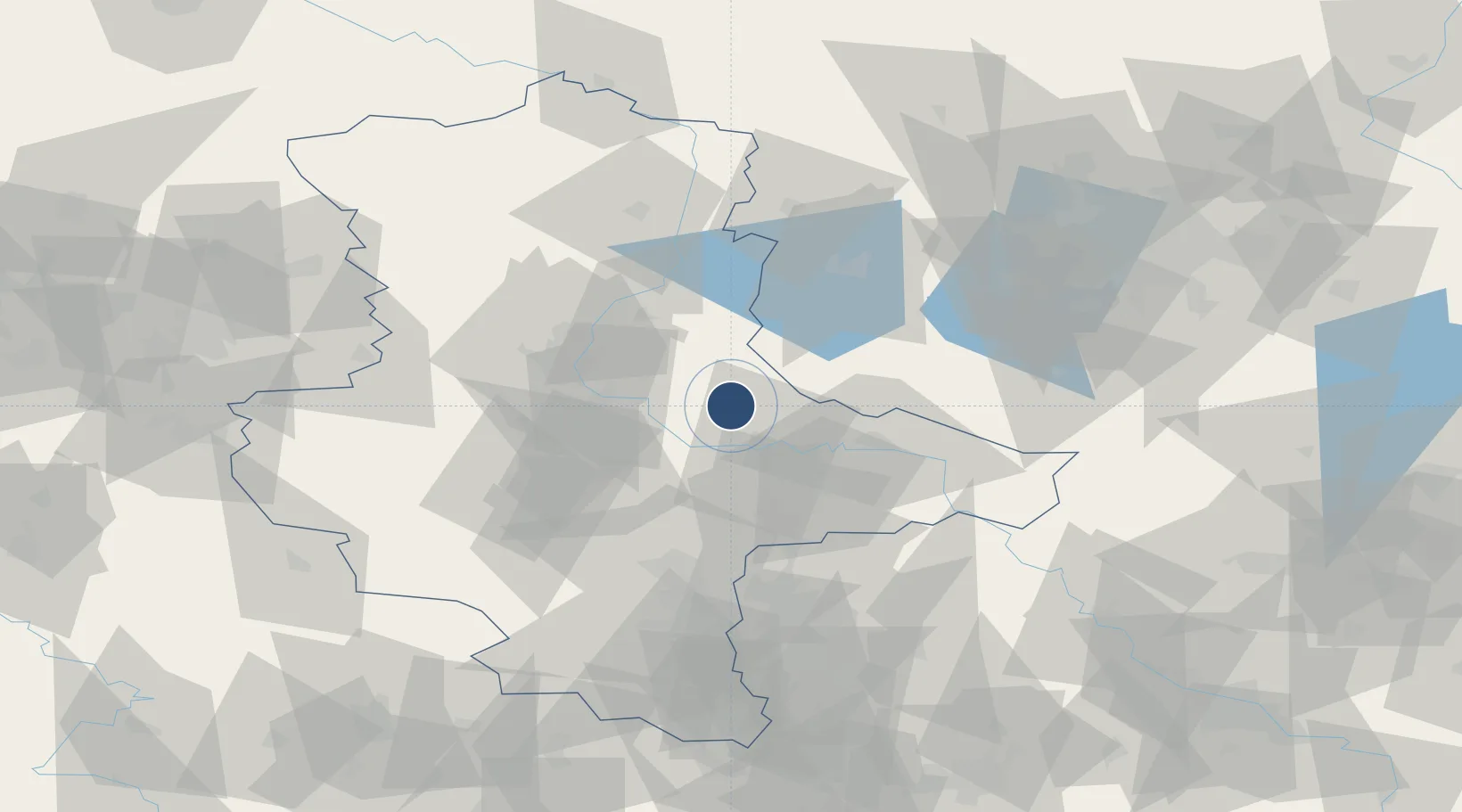
Location
Nearby Logistics Neighbours
Airports
- 1Leipzig/Halle Airport65 km
- 2Holzdorf Air Base75 km
- 3Berlin Brandenburg Airport101 km
- 4Braunschweig-Wolfsburg Airport114 km
- 5Leipzig–Altenburg Airport116 km
Cities
- 1Grimme10 km
- 2Rodleben12 km
- 3Medewitz18 km
- 4Lübars19 km
- 5Dessau-Rosslau20 km
Ports
- 1Wismar216 km
- 2Szczecin226 km
- 3Lubeck231 km
- 4Rostock233 km
- 5Lubeck-Travemunde234 km
Trade Zones
- 1Kostrzyń-Słubice SEZ182 km
- 2Most - Joseph Industrial Zone198 km
- 3Žatec - Triangle Strategic Industrial Zone203 km
- 4Podbořany Industrial Zone216 km
- 5Szczecin Duty Free Zone227 km
DatabookThe Record of Consolidated Knowledge
Germany beyond logistics?