Transport Functions
Multimodal
Hub Profile
Place type
Populated place
Region
Baden-Wurttemberg
Population
3,717
Time zone
Europe/Berlin
Elevation
663 m
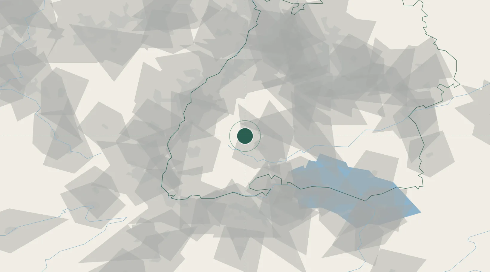
Location
Nearby Logistics Neighbours
Cities
- 1Sankt Georgen im Schwarzwald6 km
- 2Schiltach11 km
- 3Monchweiler11 km
- 4Unterkirnach11 km
- 5Gutach (Schwarzwaldbahn)12 km
Ports
- 1Bruxelles415 km
- 2Genova423 km
- 3Savona430 km
- 4Rada Di Vado436 km
- 5Porto Di Lido-Venezia437 km
Airports
- 1Donaueschingen-Villingen Airfield27 km
- 2Lahr Airport44 km
- 3Strasbourg Airport66 km
- 4Karlsruhe Baden-Baden Airport69 km
- 5Colmar Houssen airport74 km
Trade Zones
- 1ZFU Neuhof59 km
- 2ZFU Hautepierre67 km
- 3ZFU Mulhouse90 km
- 4ZFU Belfort130 km
- 5ZFU Montbéliard139 km
DatabookThe Record of Consolidated Knowledge
Germany beyond logistics?