UN/LOCODE hub · Germany
DEGAH

Gutach (Schwarzwaldbahn)

48.2500°, 8.2167°
1
Transport functions

Transport Functions

Multimodal
UN/LOCODE

Hub Profile

Region
BW
GeoNames

Location

Location of DEGAH
Natural Earth 10m (public domain) · BW · DEGAH · 48.25, 8.22GoogleOSMYandex

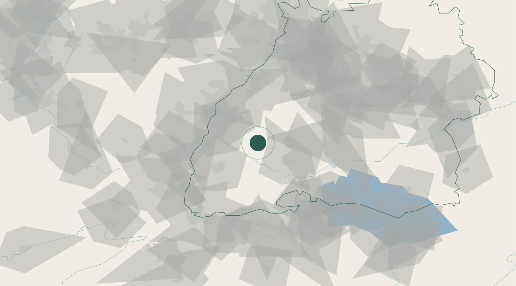
Nearby Logistics Neighbours

Cities
  1. 1Schiltach11 km
  2. 2Haslach im Kinzigtal11 km
  3. 3Tennenbronn12 km
  4. 4Steinach (Ortenaukreis)14 km
  5. 5Elzach15 km
Nearest neighbours — logibook spatial index (haversine) over the source coordinates
Ports
  1. 1Bruxelles403 km
  2. 2Antwerpen429 km
  3. 3Genova432 km
  4. 4Savona438 km
  5. 5Rada Di Vado444 km
Nearest neighbours — logibook spatial index (haversine) over the source coordinates
Airports
  1. 1Lahr Airport32 km
  2. 2Donaueschingen-Villingen Airfield38 km
  3. 3Strasbourg Airport54 km
  4. 4Karlsruhe Baden-Baden Airport60 km
  5. 5Colmar Houssen airport66 km
Nearest neighbours — logibook spatial index (haversine) over the source coordinates
Trade Zones
  1. 1ZFU Neuhof47 km
  2. 2ZFU Hautepierre55 km
  3. 3ZFU Mulhouse86 km
  4. 4ZFU Belfort125 km
  5. 5ZFU Montbéliard135 km
Nearest neighbours — logibook spatial index (haversine) over the source coordinates
DatabookThe Record of Consolidated Knowledge
Germany beyond logistics?
Browse databook

All Sources

LocationsUN/LOCODE
UN/LOCODE — free
Portsthe NGA World Port Index
Public domain (US gov)
AirportsOurAirports
Public domain
Trade Zonesthe World Bank SEZ database
CC BY 4.0
Trade ZonesOpen Zone Map
CC BY
← Germany locations