Transport Functions
Rail
Road
Hub Profile
Place type
Local administrative seat
Region
Baden-Wurttemberg
Population
1,677
Time zone
Europe/Berlin
Elevation
278 m
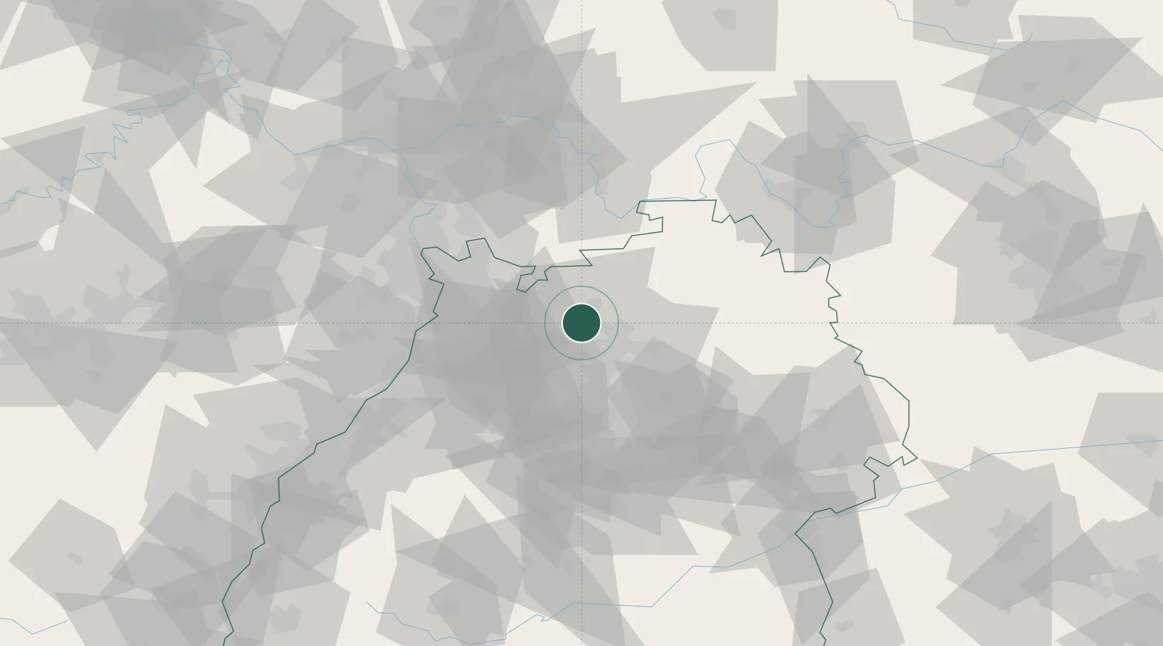
Location
Nearby Logistics Neighbours
Cities
- 1Hüffenhardt2 km
- 2Neckarzimmern7 km
- 3Diedesheim/Mosbach10 km
- 4Mosbach10 km
- 5Helmstadt-Bargen10 km
Airports
- 1Mannheim-City Airport47 km
- 2Adolf Würth Airport54 km
- 3Niederstetten Army Air Base65 km
- 4Stuttgart Airport65 km
- 5Frankfurt-Egelsbach Airport83 km
Trade Zones
- 1ZFU Neuhof126 km
- 2ZFU Hautepierre126 km
- 3ZFU La Cité Behren-lès-Forbach157 km
- 4Luxembourg Free Port211 km
- 5ZFU Mulhouse212 km
DatabookThe Record of Consolidated Knowledge
Germany beyond logistics?