Transport Functions
Port
Rail
Road
Hub Profile
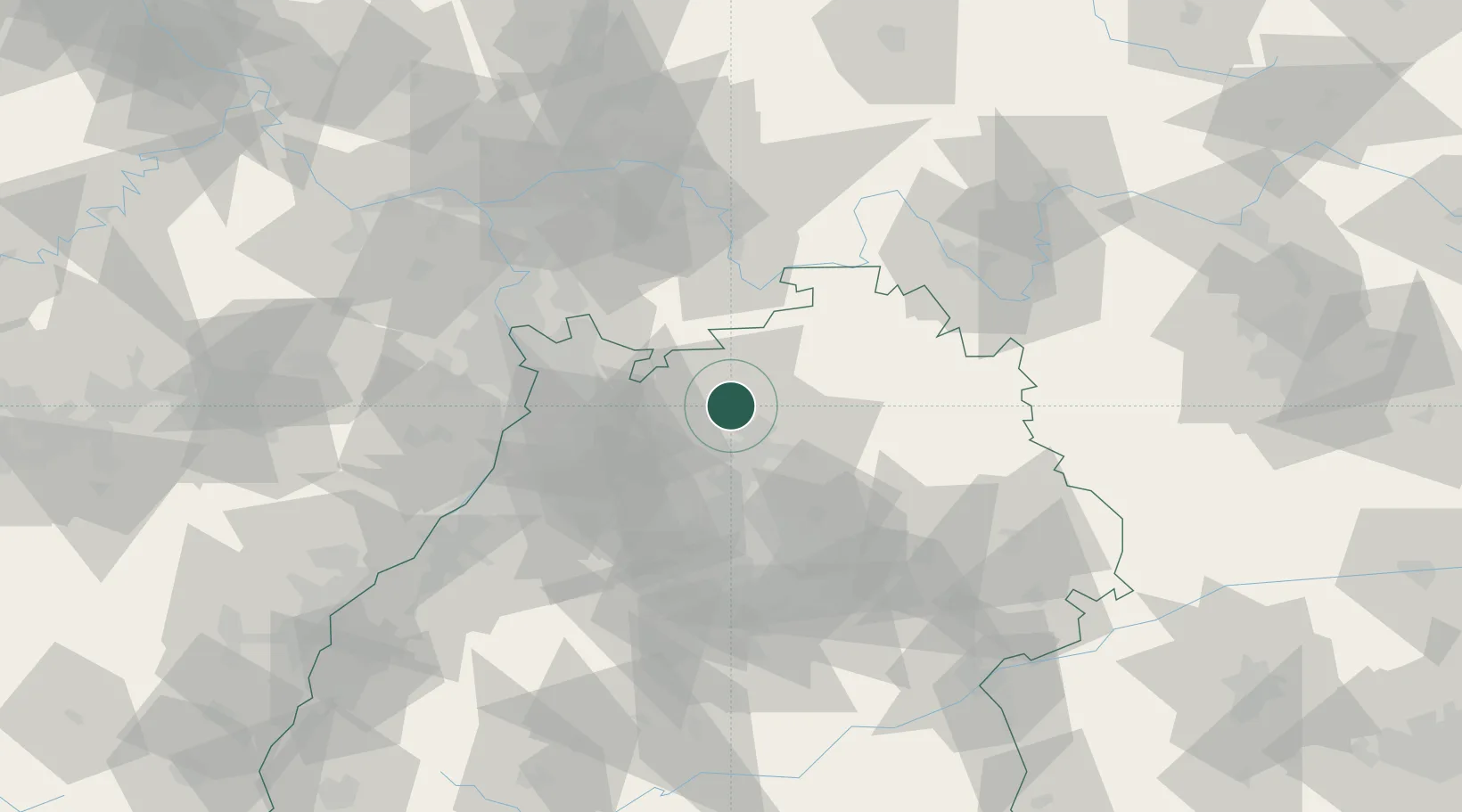
Place type
Local administrative seat
Region
Baden-Wurttemberg
Population
1,629
Time zone
Europe/Berlin
Elevation
153 m
Location
Nearby Logistics Neighbours
Cities
- 1Mosbach4 km
- 2Diedesheim/Mosbach4 km
- 3Hüffenhardt7 km
- 4Siegelsbach7 km
- 5Neudenau9 km
Airports
- 1Mannheim-City Airport49 km
- 2Adolf Würth Airport51 km
- 3Niederstetten Army Air Base59 km
- 4Stuttgart Airport70 km
- 5Frankfurt-Egelsbach Airport80 km
Trade Zones
- 1ZFU Neuhof133 km
- 2ZFU Hautepierre133 km
- 3ZFU La Cité Behren-lès-Forbach162 km
- 4Luxembourg Free Port215 km
- 5ZFU Metz218 km
DatabookThe Record of Consolidated Knowledge
Germany beyond logistics?