UN/LOCODE hub · Germany
DEHXN
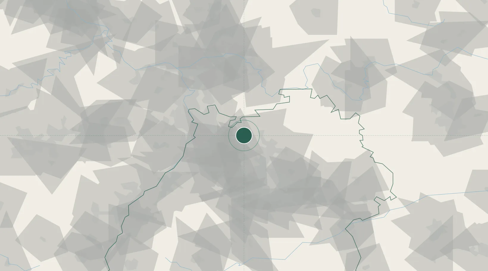
Helmstadt-Bargen
49.3167°, 8.9667°
3,718
Population
1
Transport functions
Transport Functions
Multimodal
Hub Profile
Place type
Local administrative seat
Region
Baden-Wurttemberg
Population
3,718
Time zone
Europe/Berlin
Elevation
193 m
Location
Nearby Logistics Neighbours
Cities
- 1Reichartshausen4 km
- 2Hüffenhardt8 km
- 3Eschelbronn9 km
- 4Schwanheim9 km
- 5Siegelsbach10 km
Airports
- 1Mannheim-City Airport37 km
- 2Adolf Würth Airport63 km
- 3Stuttgart Airport72 km
- 4Niederstetten Army Air Base72 km
- 5Frankfurt-Egelsbach Airport75 km
Trade Zones
- 1ZFU Hautepierre123 km
- 2ZFU Neuhof123 km
- 3ZFU La Cité Behren-lès-Forbach149 km
- 4Luxembourg Free Port202 km
- 5ZFU Metz205 km
DatabookThe Record of Consolidated Knowledge
Germany beyond logistics?