Transport Functions
Rail
Road
Hub Profile
Place type
District seat
Region
Baden-Wurttemberg
Population
25,106
Time zone
Europe/Berlin
Elevation
186 m
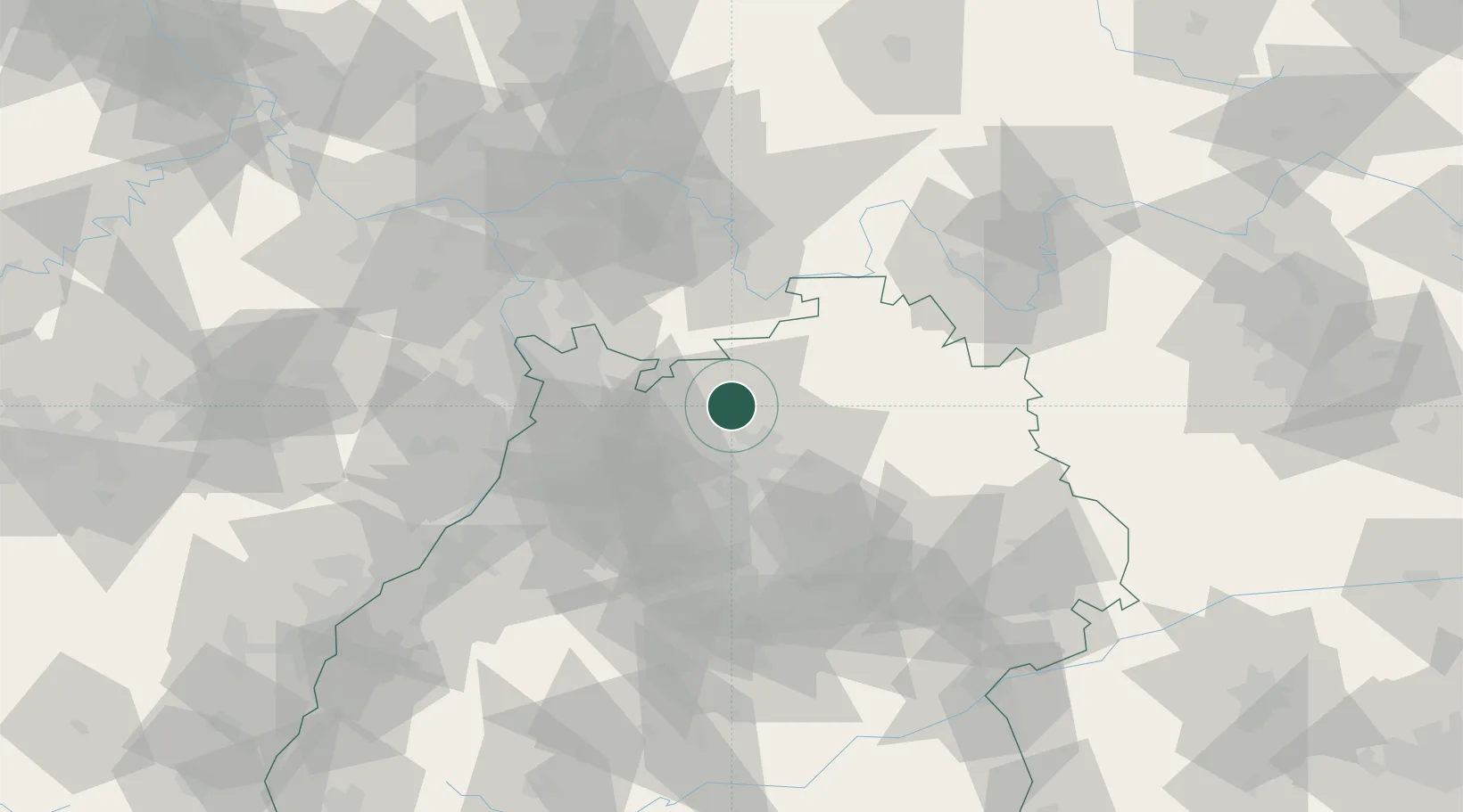
Location
Nearby Logistics Neighbours
Cities
- 1Diedesheim/Mosbach1 km
- 2Neckarzimmern4 km
- 3Hüffenhardt9 km
- 4Siegelsbach10 km
- 5Schefflenz11 km
Airports
- 1Mannheim-City Airport47 km
- 2Adolf Würth Airport54 km
- 3Niederstetten Army Air Base60 km
- 4Stuttgart Airport74 km
- 5Frankfurt-Egelsbach Airport77 km
Trade Zones
- 1ZFU Neuhof135 km
- 2ZFU Hautepierre135 km
- 3ZFU La Cité Behren-lès-Forbach161 km
- 4Luxembourg Free Port213 km
- 5ZFU Metz218 km
DatabookThe Record of Consolidated Knowledge
Germany beyond logistics?