Transport Functions
Rail
Road
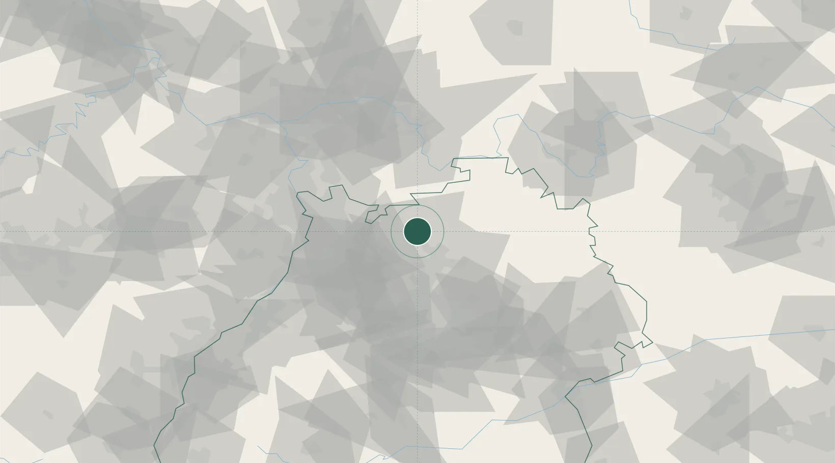
Hub Profile
Region
BW
Location
Nearby Logistics Neighbours
Cities
- 1Mosbach1 km
- 2Neckarzimmern4 km
- 3Hüffenhardt8 km
- 4Siegelsbach10 km
- 5Helmstadt-Bargen12 km
Airports
- 1Mannheim-City Airport46 km
- 2Adolf Würth Airport55 km
- 3Niederstetten Army Air Base61 km
- 4Stuttgart Airport74 km
- 5Frankfurt-Egelsbach Airport76 km
Trade Zones
- 1ZFU Hautepierre134 km
- 2ZFU Neuhof134 km
- 3ZFU La Cité Behren-lès-Forbach160 km
- 4Luxembourg Free Port212 km
- 5ZFU Metz216 km
DatabookThe Record of Consolidated Knowledge
Germany beyond logistics?