Transport Functions
Rail
Road
Hub Profile
Place type
Local administrative seat
Region
Rheinland-Pfalz
Population
783
Time zone
Europe/Berlin
Elevation
130 m
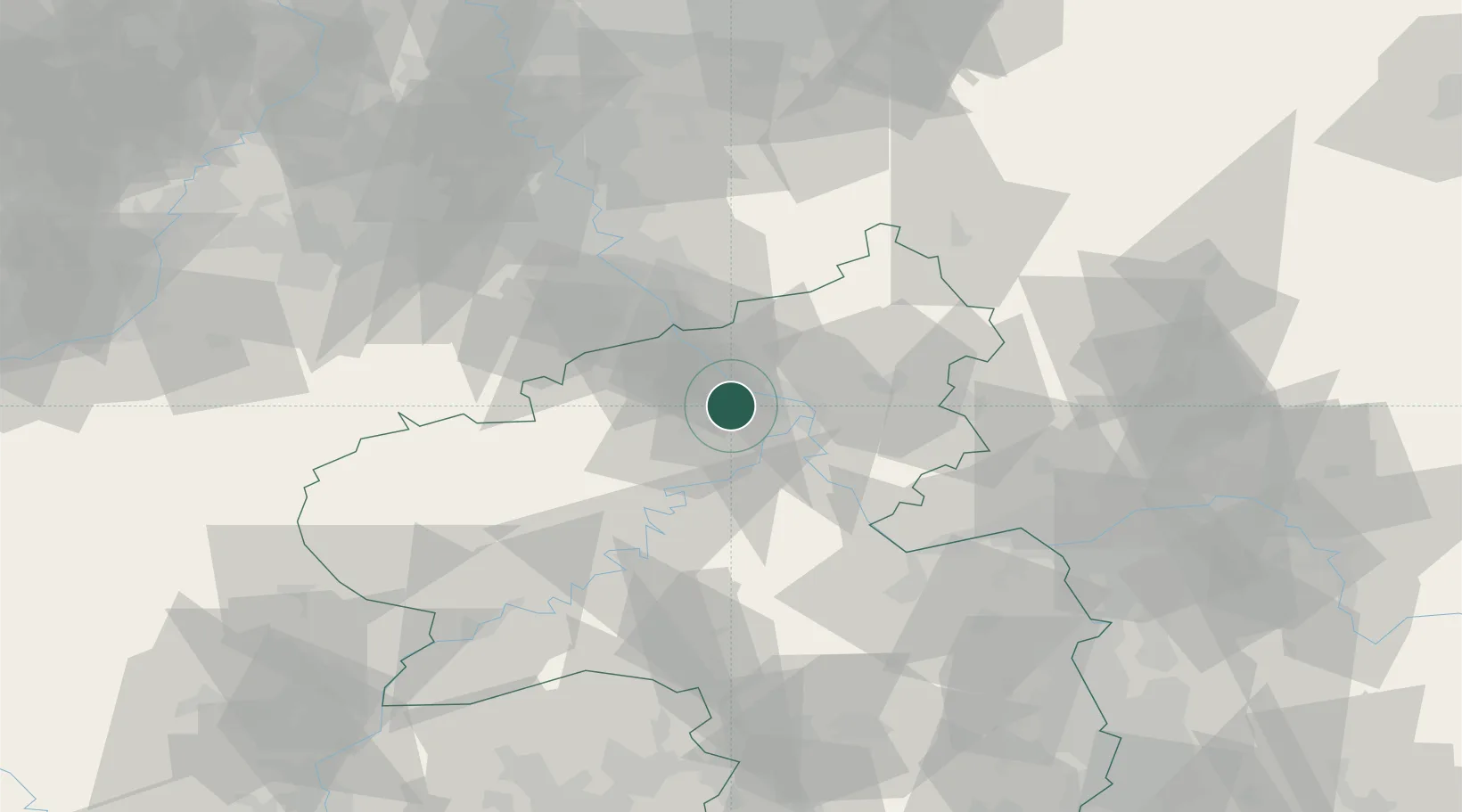
Location
Nearby Logistics Neighbours
Cities
- 1Weissenthurm6 km
- 2Andernach6 km
- 3Bassenheim7 km
- 4Mendig7 km
- 5Burgbrohl9 km
Airports
- 1Büchel Air Base33 km
- 2Frankfurt-Hahn Airport51 km
- 3Cologne Bonn Airport54 km
- 4Siegerland Airport61 km
- 5Spangdahlem Air Base67 km
Trade Zones
- 1Rheinische Revier SWZ90 km
- 2Luxembourg Free Port118 km
- 3Freeport of Duisburg129 km
- 4ZFU La Cité Behren-lès-Forbach141 km
- 5ZFU Woippy-Metz164 km
DatabookThe Record of Consolidated Knowledge
Germany beyond logistics?