Transport Functions
Rail
Road
Hub Profile
Place type
Local administrative seat
Region
Rheinland-Pfalz
Population
2,787
Time zone
Europe/Berlin
Elevation
173 m
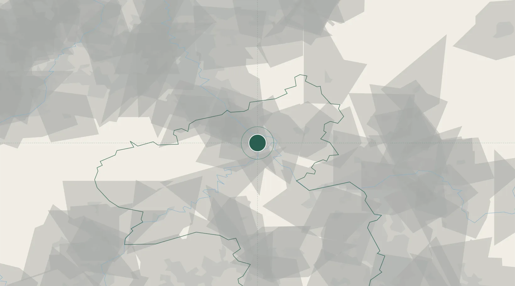
Location
Nearby Logistics Neighbours
Cities
- 1Weissenthurm6 km
- 2Urmitz6 km
- 3Kretz7 km
- 4Winningen7 km
- 5Andernach8 km
Airports
- 1Büchel Air Base35 km
- 2Frankfurt-Hahn Airport49 km
- 3Siegerland Airport59 km
- 4Cologne Bonn Airport60 km
- 5Mainz-Finthen Airfield67 km
Trade Zones
- 1Rheinische Revier SWZ97 km
- 2Luxembourg Free Port119 km
- 3Freeport of Duisburg134 km
- 4ZFU La Cité Behren-lès-Forbach139 km
- 5ZFU Woippy-Metz164 km
DatabookThe Record of Consolidated Knowledge
Germany beyond logistics?