Transport Functions
Rail
Road
Airport
Hub Profile
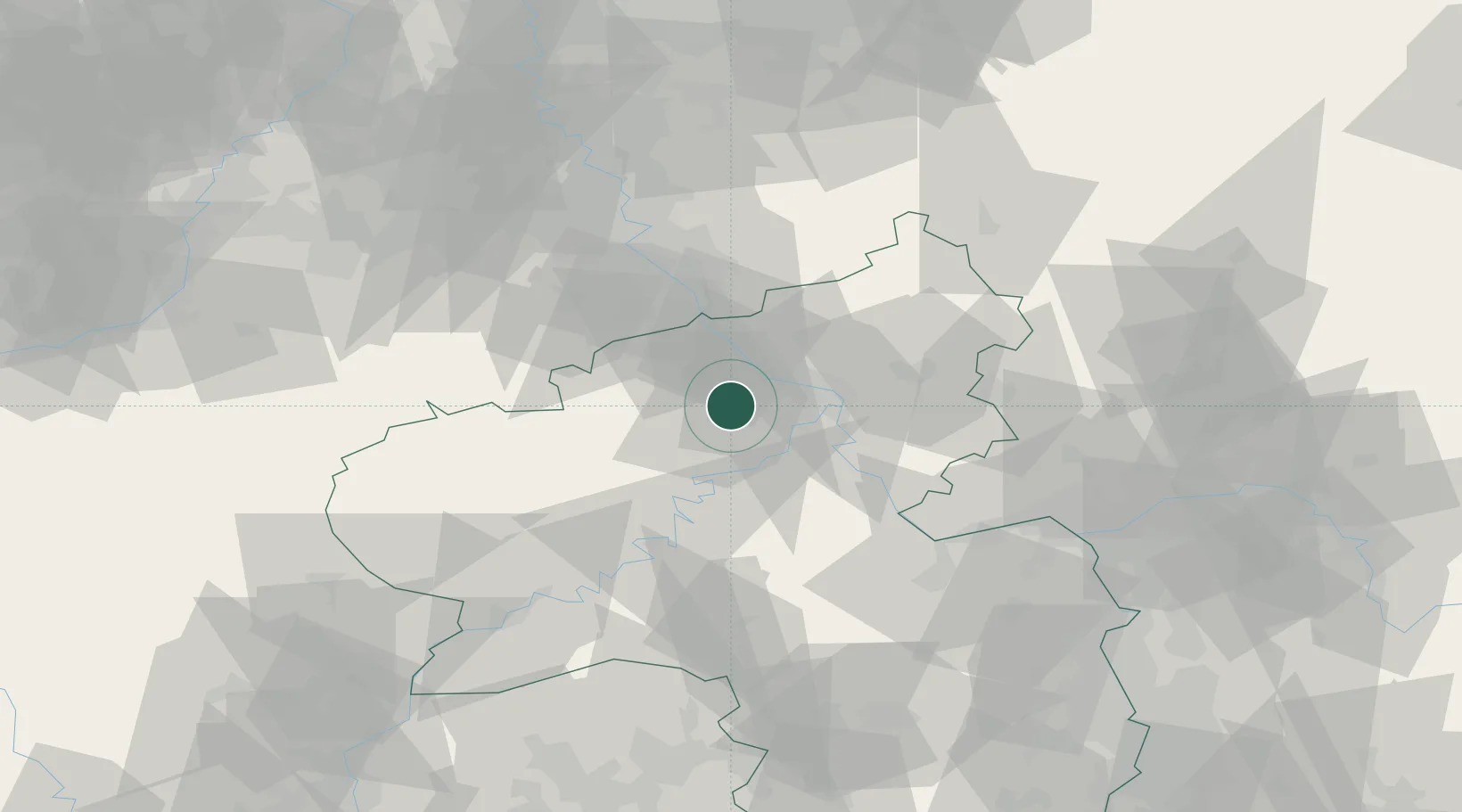
Place type
Populated place
Region
Rheinland-Pfalz
Population
8,813
Time zone
Europe/Berlin
Elevation
195 m
Location
Nearby Logistics Neighbours
Cities
- 1Ettringen5 km
- 2Kretz7 km
- 3Polch8 km
- 4Burgbrohl9 km
- 5Bassenheim12 km
Airports
- 1Büchel Air Base27 km
- 2Frankfurt-Hahn Airport47 km
- 3Cologne Bonn Airport56 km
- 4Spangdahlem Air Base60 km
- 5Nörvenich Air Base68 km
Trade Zones
- 1Rheinische Revier SWZ88 km
- 2Luxembourg Free Port111 km
- 3Freeport of Duisburg130 km
- 4ZFU La Cité Behren-lès-Forbach136 km
- 5ZFU Woippy-Metz158 km
DatabookThe Record of Consolidated Knowledge
Germany beyond logistics?