Medium airport · Germany
Spangdahlem Air BaseETAD
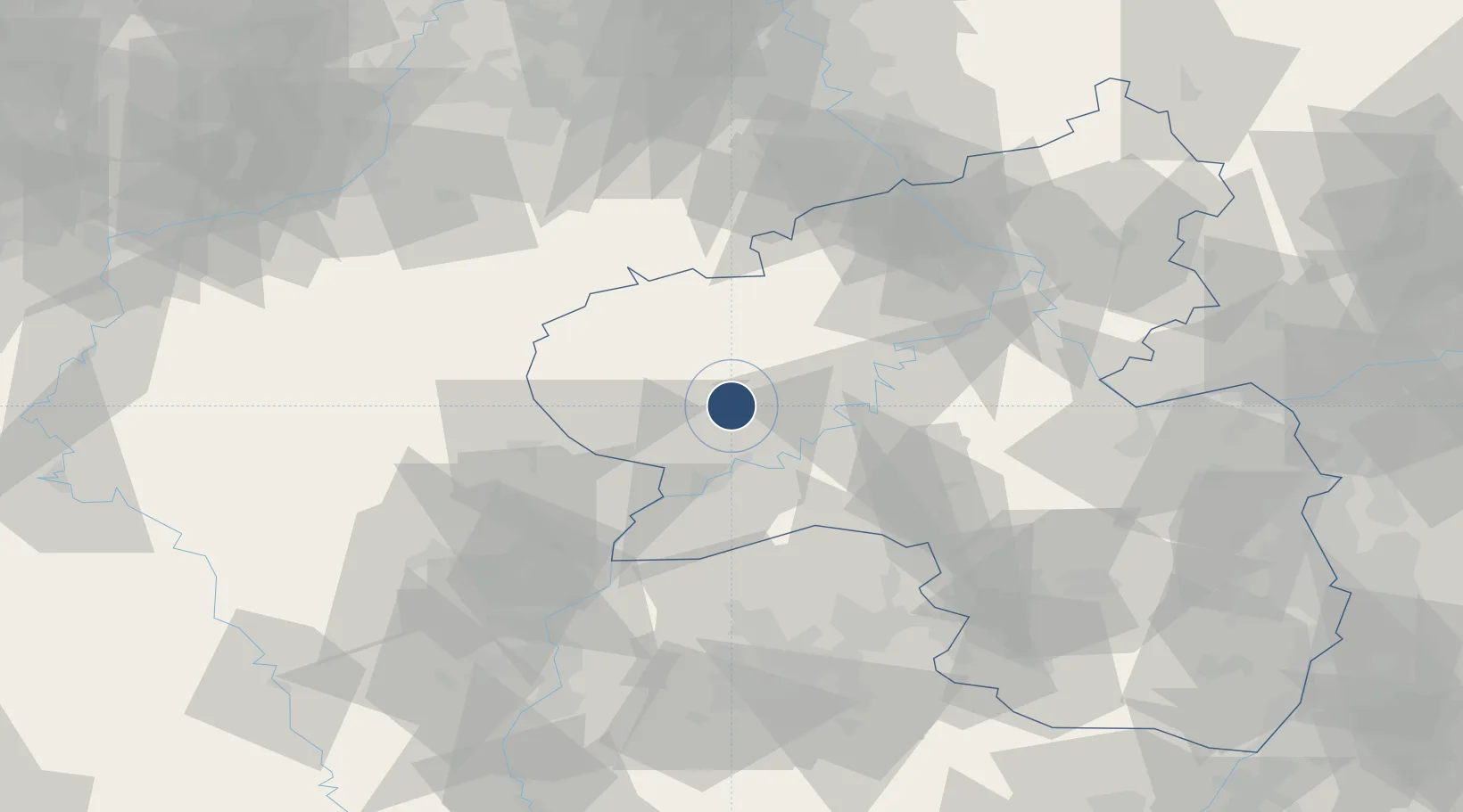
49.9765°, 6.6984°
10,007 ft
Longest runway
1
Runways
1,197 ft
Elevation
Runway & Layout

Radio Frequencies
ATIS
143.425 MHz
TWR
122.2 MHz
GND
138.8 MHz
DEP
314.6 MHz
LIPPE RADAR
A/G
141.775 MHz
SOF
DIR
387.15 MHz
RHEIN RADAR
GCA
129.475 MHz
GCCD
308.85 MHz
CLNC DEL
OPS
131.975 MHz
AMC AIRLIFT AMCC
PMSV
284.425 MHz
PMSV METRO
POST
258.7 MHz
COMD POST
PTD
138.4 MHz
RDR
125.6 MHz
LANGEN RADAR
Navaids
SPA TACAN Spangdahlem 109.50 MHz
Runways · 1
| Runway | Dimensions | Surface | True heading | Lit |
|---|---|---|---|---|
| 05/23 | 10,007 × 148ft | Asphalt | 045° | ✓ |
Airport Specifications
IATA code
SPM
ICAO code
ETAD
Airport class
Medium airport
Scheduled service
No
Runway surface
Asphalt
Served city
Trier
Location
Nearby Logistics Neighbours
Airports
- 1Büchel Air Base34 km
- 2Frankfurt-Hahn Airport40 km
- 3Luxembourg-Findel International Airport52 km
- 4Ramstein Air Base88 km
- 5Saarbrücken Airport90 km
Cities
- 1Binsfeld bei Wittlich1 km
- 2Badem6 km
- 3Grosslittgen10 km
- 4Karl11 km
- 5Salmtal12 km
Trade Zones
- 1Luxembourg Free Port51 km
- 2ZFU La Cité Behren-lès-Forbach92 km
- 3ZFU Woippy-Metz100 km
- 4ZFU Metz104 km
- 5Rheinische Revier SWZ106 km
DatabookThe Record of Consolidated Knowledge
Germany beyond logistics?